Economic Revitalization Project · France
ZFU Besancon Active
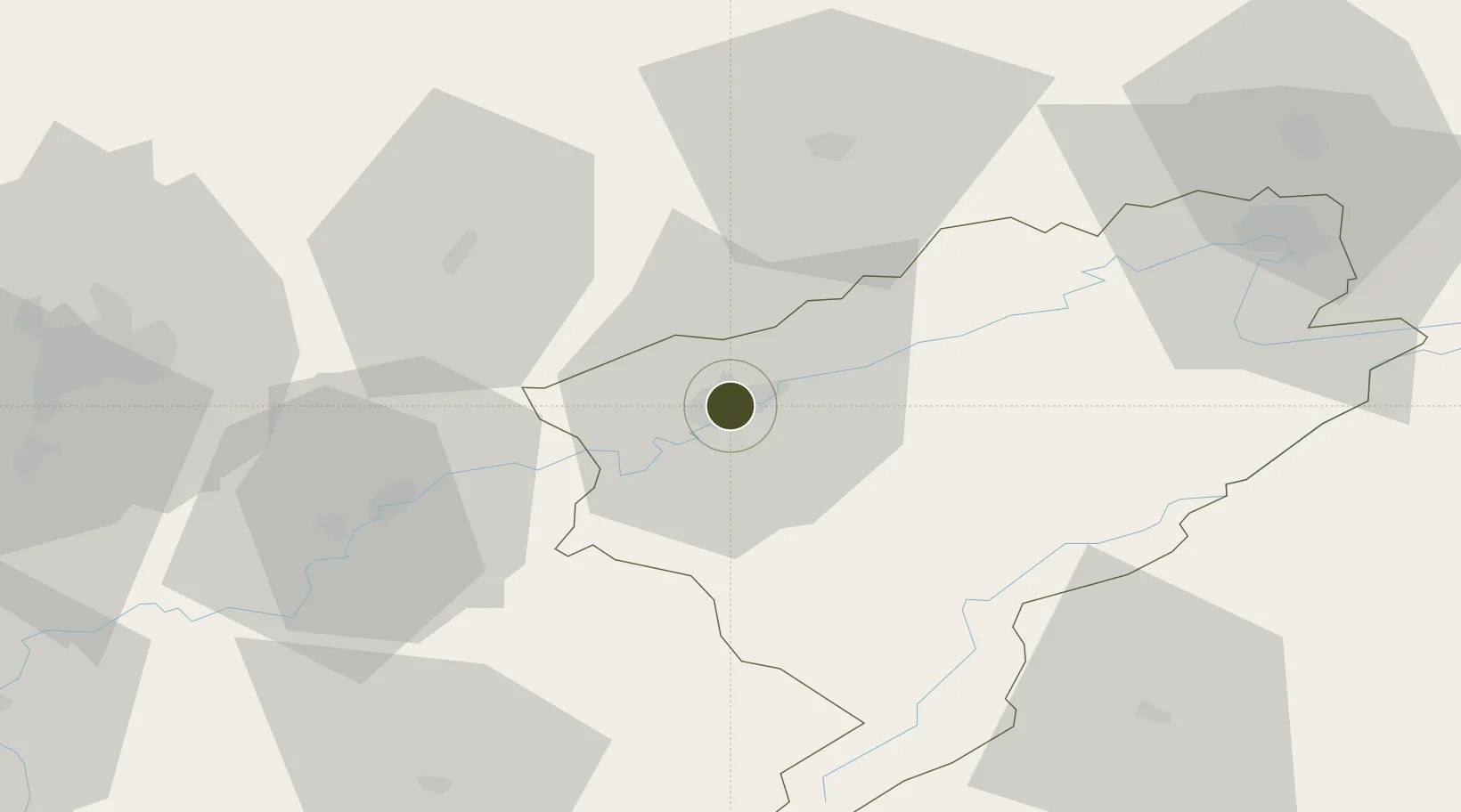
47.2375°, 6.0085°
157 ha
Zone area
377.9 km
Nearest port
47.0 km
Nearest airport
Gateway access
Zone profile
Zone type
Economic Revitalization Project
Region
Doubs
Status
Active
Management
Public
Operator
Ville de Besancon
Legal framework
Décret no 65-939 du 8 novembre 1965, Décret du 9 Octobre 2008
Location
Nearby Logistics Neighbours
Ports
- 1Savona378 km
- 2Rada Di Vado381 km
- 3Genova388 km
- 4San Remo405 km
- 5Monaco405 km
Airports
Cities
- 1Besançon2 km
- 2Miserey-Salines6 km
- 3Pugey6 km
- 4Chalezeule7 km
- 5Thise8 km
Trade Zones
- 1ZFU Montbéliard66 km
- 2PESA - Port-Franc et Entrepôts de Lausanne-Chavornay SA72 km
- 3ZFU Belfort75 km
- 4ZFU Chenôve78 km
- 5Port Franc Vevey96 km
DatabookThe Record of Consolidated Knowledge
France beyond logistics?