Transport Functions
Rail
Road
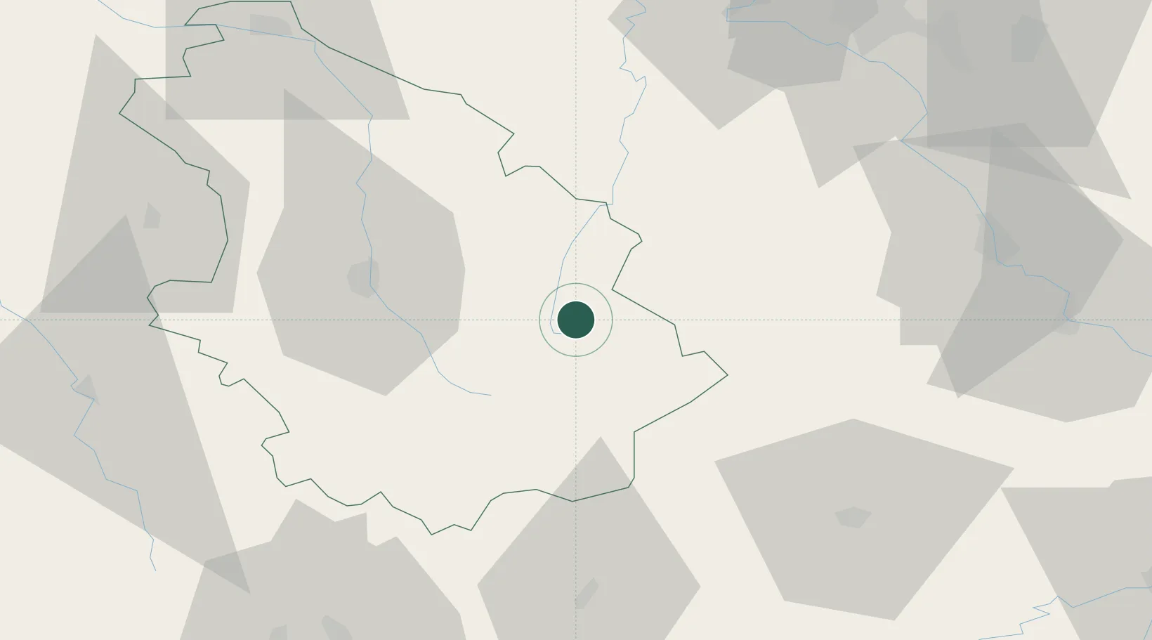
Hub Profile
Place type
Populated place
Region
Grand Est
Population
137
Time zone
Europe/Paris
Elevation
355 m
Location
Nearby Logistics Neighbours
Cities
- 1Serqueux13 km
- 2Lavernoy13 km
- 3Bourbonne-les-Bains16 km
- 4Coiffy-le-Haut17 km
- 5Mandres-la-Côte19 km
Airports
Trade Zones
- 1ZFU Saint-Dizier85 km
- 2ZFU Maxéville, Laxou, et de Nancy86 km
- 3ZFU Chenôve94 km
- 4ZFU Besancon94 km
- 5ZFU Belfort101 km
DatabookThe Record of Consolidated Knowledge
France beyond logistics?