Transport Functions
Port
Road
Hub Profile
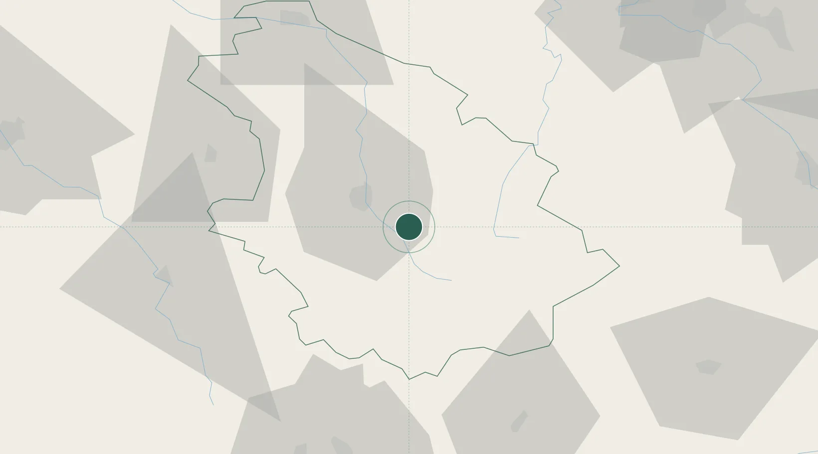
Place type
Populated place
Region
Grand Est
Population
122
Time zone
Europe/Paris
Elevation
323 m
Location
Nearby Logistics Neighbours
Cities
- 1Mandres-la-Côte5 km
- 2Chaumont15 km
- 3Brethenay18 km
- 4Nogent19 km
- 5Langres19 km
Airports
Trade Zones
DatabookThe Record of Consolidated Knowledge
France beyond logistics?