Medium airport · France
Luxeuil-Saint-Sauveur (BA 116) Air BaseLFSX
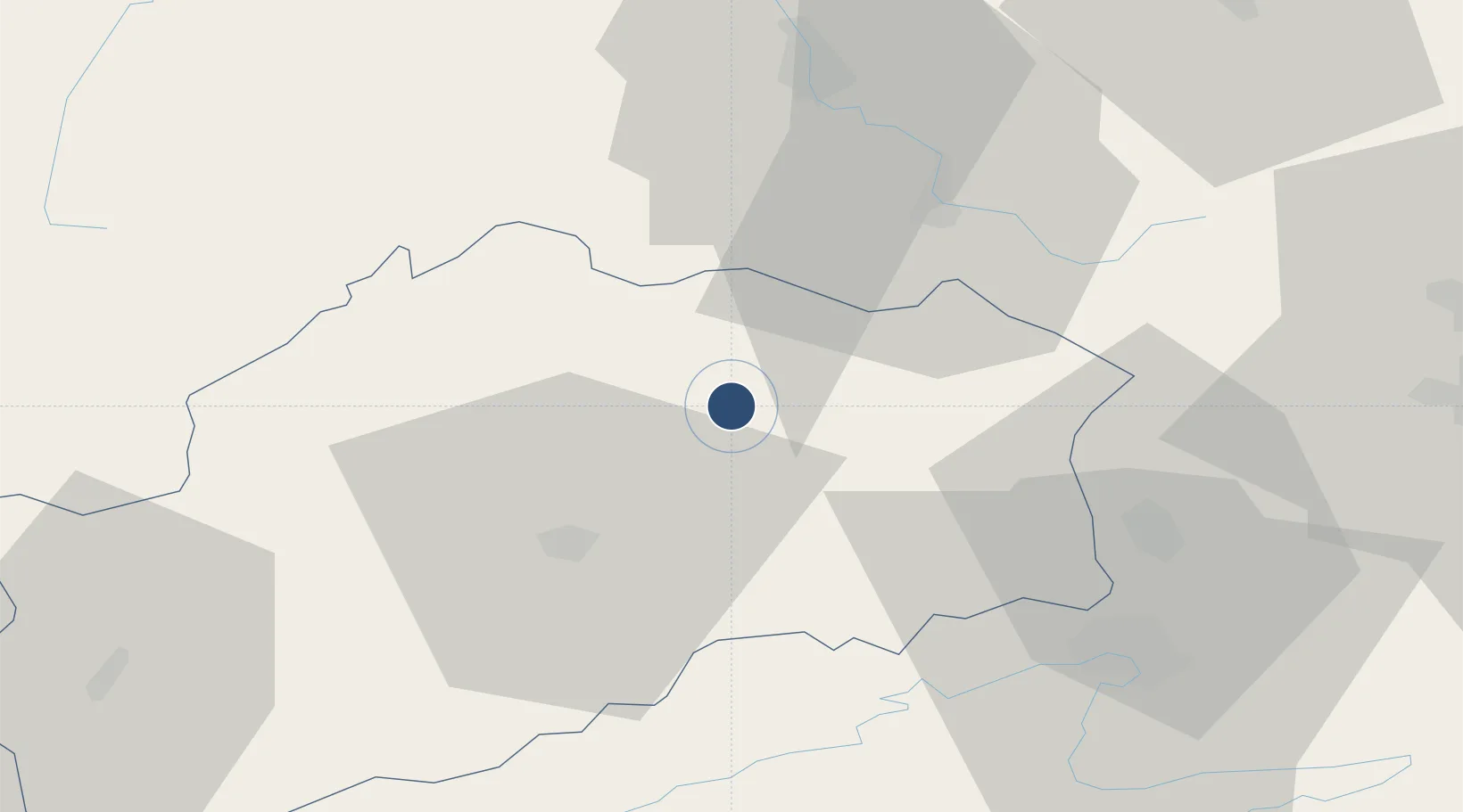
47.7877°, 6.3534°
7,982 ft
Longest runway
2
Runways
913 ft
Elevation
Runway & Layout

Radio Frequencies
TWR
122.1 MHz
LUXEUIL TWR
APP
129.925 MHz
LUXEUIL APP
ARR
39.702 MHz
LUXEUIL ARR
Navaids
LUL VOR Luxeuil 117.10 MHz
LXI TACAN Luxeuil 108.20 MHz
LXI NDB Luxeuil 364 kHz
Runways · 2
| Runway | Dimensions | Surface | True heading | Lit |
|---|---|---|---|---|
| 11/29 | 7,982 × 148ft | Asphalt | 113° | ✓ |
| 04/22 | 7,596 × 118ft | Asphalt | 038° | ✓ |
Airport Specifications
ICAO code
LFSX
Airport class
Medium airport
Scheduled service
No
Runway surface
Asphalt
Served city
Saint-Sauveur
Location
Nearby Logistics Neighbours
Airports
- 1Vesoul-Frotey Airfield20 km
- 2Montbéliard-Courcelles Airfield47 km
- 3Épinal Mirecourt Airport63 km
- 4Colmar Houssen airport83 km
- 5Les Eplatures Airport85 km
Cities
- 1Luxeuil-les-Bains3 km
- 2Fougerolles11 km
- 3Le Val-d'Ajol17 km
- 4Faucogney-et-la-Mer17 km
- 5Melincourt20 km
Ports
- 1Bruxelles372 km
- 2Antwerpen407 km
- 3Ghent411 km
- 4Savona420 km
- 5Rada Di Vado424 km
Trade Zones
- 1ZFU Belfort37 km
- 2ZFU Montbéliard45 km
- 3ZFU Besancon66 km
- 4ZFU Mulhouse74 km
- 5ZFU Maxéville, Laxou, et de Nancy103 km
DatabookThe Record of Consolidated Knowledge
France beyond logistics?