Transport Functions
Rail
Road
Hub Profile
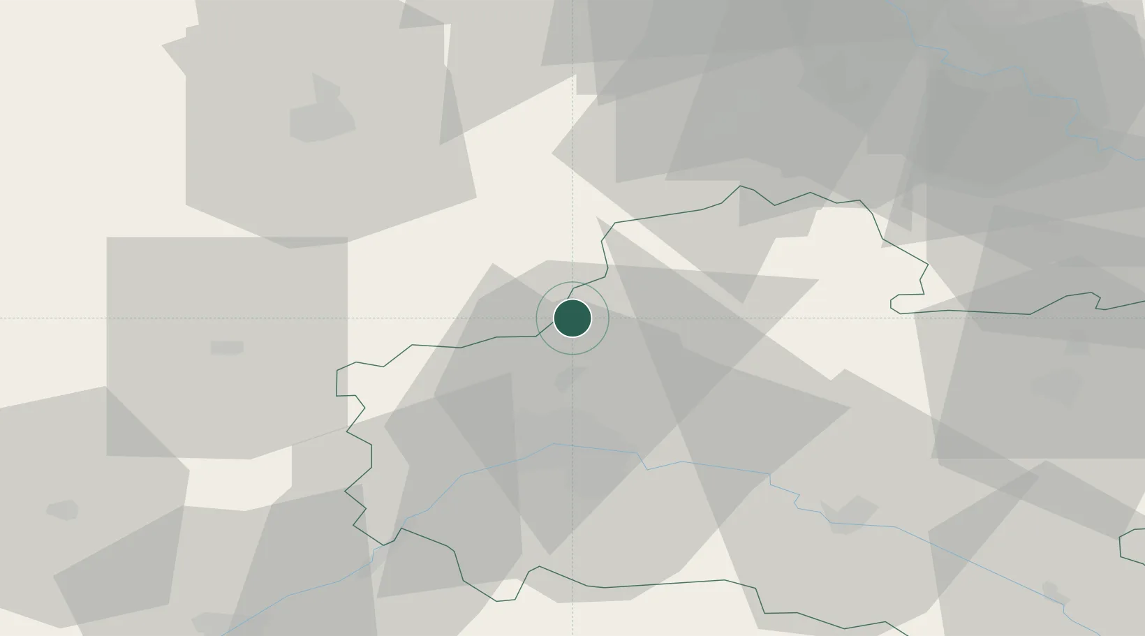
Place type
Populated place
Region
Centre-Val de Loire
Population
219
Time zone
Europe/Paris
Elevation
124 m
Location
Nearby Logistics Neighbours
Cities
- 1Artenay5 km
- 2Bazoches-les-Gallerandes11 km
- 3Sougy12 km
- 4Orgères-en-Beauce17 km
- 5Escrennes20 km
Ports
- 1Port Of Rouen161 km
- 2Honfleur191 km
- 3Deauville193 km
- 4Port Of Le Havre201 km
- 5Port De Caen204 km
Airports
- 1Orléans-Bricy (BA 123) Air Base18 km
- 2Châteaudun Airfield40 km
- 3Toussus-le-Noble Airport72 km
- 4Paris-Orly Airport76 km
- 5Vélizy-Villacoublay Air Base76 km
Trade Zones
- 1ZFU Orléans28 km
- 2ZFU Corbeil-Evry66 km
- 3ZFU Grigny Viry-Châtillon70 km
- 4ZFU Melun71 km
- 5ZFU Trappes74 km
DatabookThe Record of Consolidated Knowledge
France beyond logistics?