UN/LOCODE hub · France
FREI3

Val-Couesnon

48.4667°, -1.4833°
2
Transport functions

Transport Functions

Rail
Road
UN/LOCODE

Hub Profile

Region
35
GeoNames

Location

Location of FREI3
Natural Earth 10m (public domain) · 35 · FREI3 · 48.47, -1.48GoogleOSMYandex

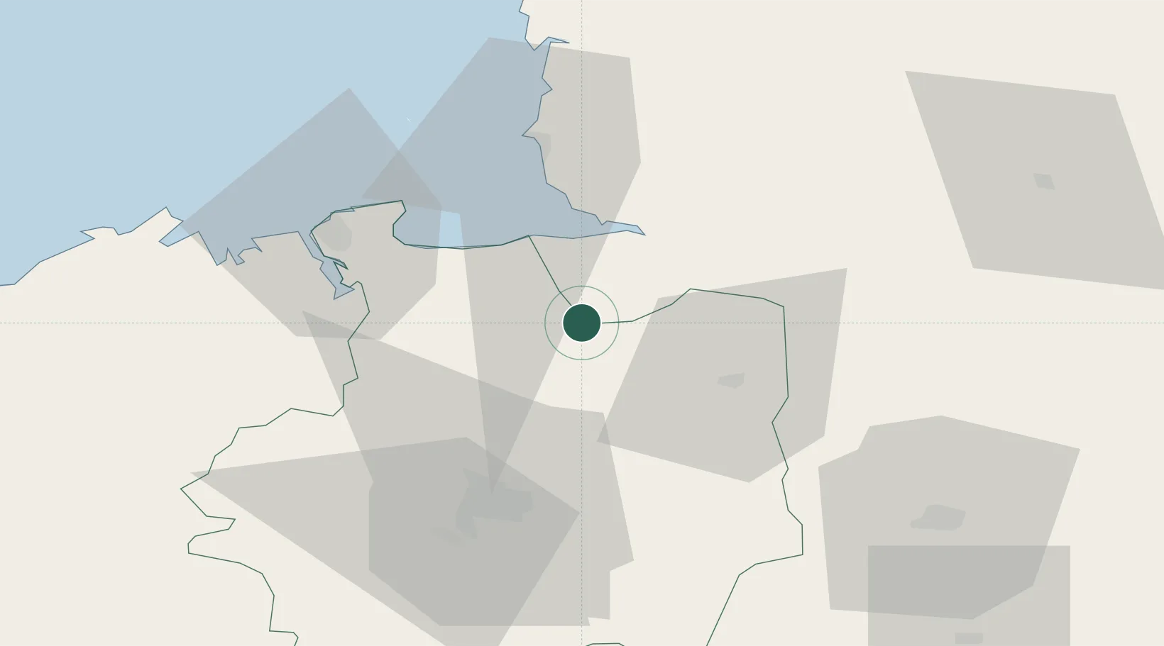
Nearby Logistics Neighbours

Cities
  1. 1Moidrey11 km
  2. 2Baillé16 km
  3. 3Mézières-sur-Couesnon19 km
  4. 4Saint-Jean-sur-Couesnon22 km
  5. 5Montreuil-sur-Ille23 km
Nearest neighbours — logibook spatial index (haversine) over the source coordinates
Ports
  1. 1Granville42 km
  2. 2Saint-Malo44 km
  3. 3Saint Helier Harbour92 km
  4. 4Le Legue94 km
  5. 5Port De Caen115 km
Nearest neighbours — logibook spatial index (haversine) over the source coordinates
Airports
  1. 1Dinard Pleurtuit Saint-Malo airport46 km
  2. 2Granville Airport47 km
  3. 3Rennes-Saint-Jacques Airport48 km
  4. 4Laval-Entrammes Airport73 km
  5. 5Jersey Airport98 km
Nearest neighbours — logibook spatial index (haversine) over the source coordinates
Trade Zones
  1. 1ZFU La Guérinière, La Grâce de Dieu112 km
  2. 2ZFU Alençon115 km
  3. 3ZFU Hérouville-Saint-Clair117 km
  4. 4ZFU Angers128 km
  5. 5ZFU Le Mans131 km
Nearest neighbours — logibook spatial index (haversine) over the source coordinates
DatabookThe Record of Consolidated Knowledge
France beyond logistics?
Browse databook

All Sources

LocationsUN/LOCODE
UN/LOCODE — free
Portsthe NGA World Port Index
Public domain (US gov)
AirportsOurAirports
Public domain
Trade Zonesthe World Bank SEZ database
CC BY 4.0
Trade ZonesOpen Zone Map
CC BY
← France locations