Transport Functions
Road
Multimodal
Hub Profile
Place type
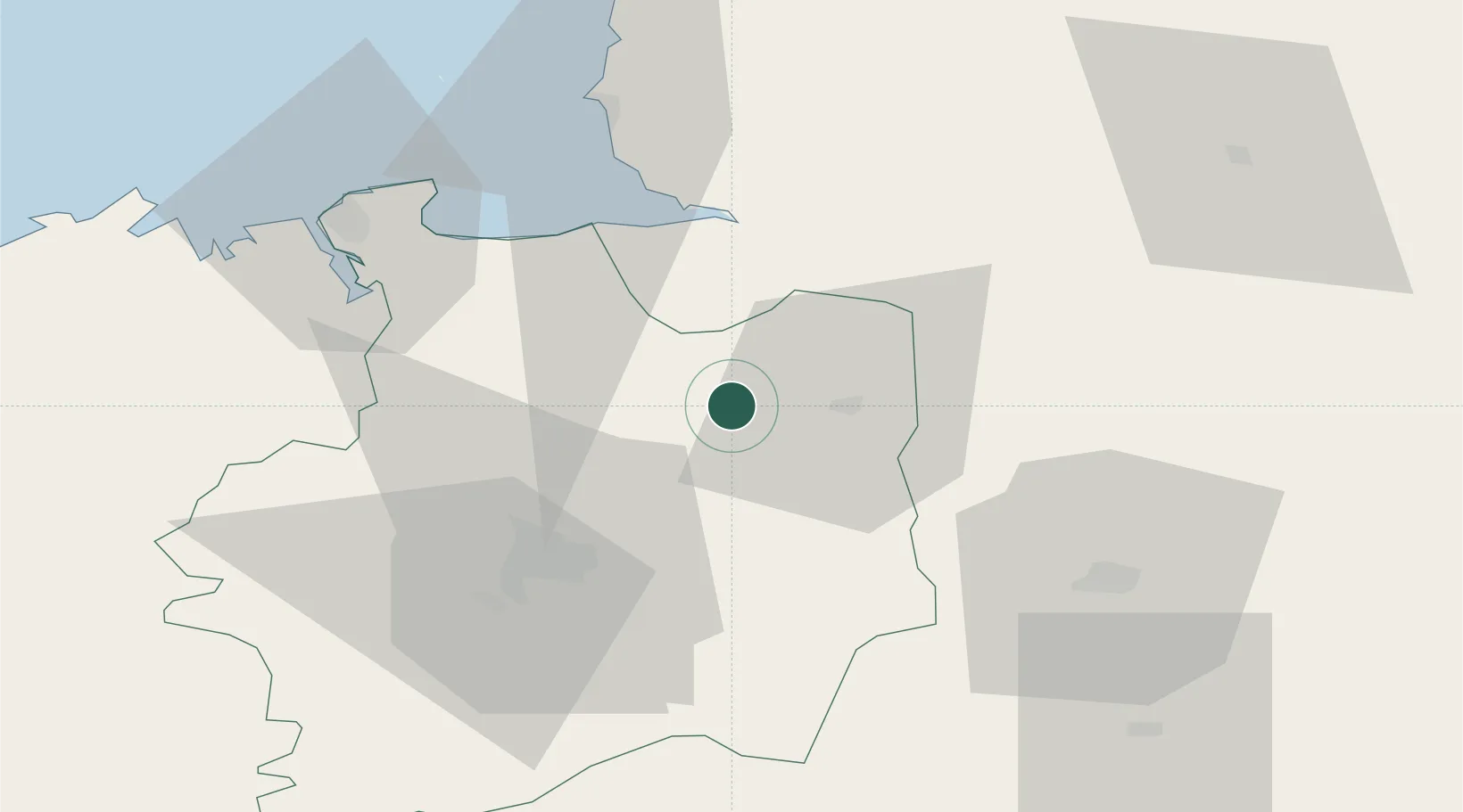
Populated place
Region
Brittany
Population
341
Time zone
Europe/Paris
Elevation
103 m
Location
Nearby Logistics Neighbours
Cities
- 1Saint-Jean-sur-Couesnon7 km
- 2Mézières-sur-Couesnon8 km
- 3Fougères12 km
- 4Combourtillé13 km
- 5Beaucé15 km
Ports
- 1Granville56 km
- 2Saint-Malo58 km
- 3Le Legue104 km
- 4Saint Helier Harbour108 km
- 5Port De Caen119 km
Airports
Trade Zones
- 1ZFU Alençon107 km
- 2ZFU Angers112 km
- 3ZFU La Guérinière, La Grâce de Dieu116 km
- 4ZFU Le Mans118 km
- 5ZFU Hérouville-Saint-Clair121 km
DatabookThe Record of Consolidated Knowledge
France beyond logistics?