UN/LOCODE hub · France
FR35R
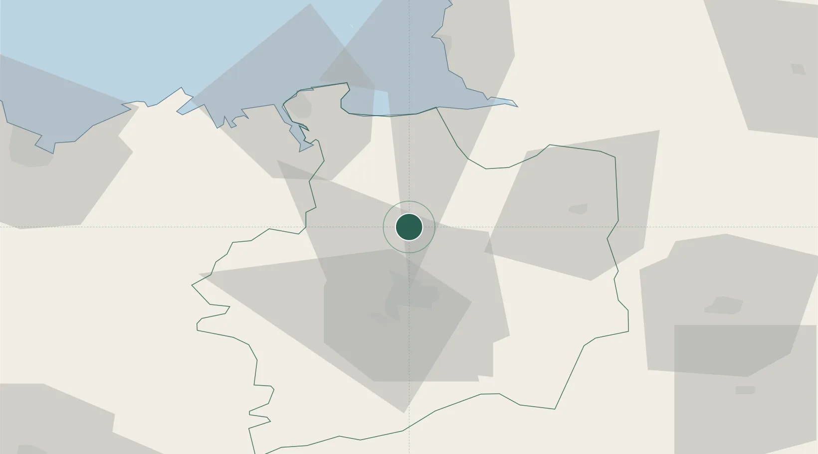
Montreuil-sur-Ille
48.3000°, -1.6667°
1,705
Population
2
Transport functions
Transport Functions
Rail
Road
Hub Profile
Place type
Populated place
Region
Brittany
Population
1,705
Time zone
Europe/Paris
Elevation
57 m
Location
Nearby Logistics Neighbours
Cities
- 1La Chapelle-des-Fougeretz14 km
- 2Betton15 km
- 3Mézières-sur-Couesnon16 km
- 4Montgermont17 km
- 5Acigné21 km
Ports
- 1Saint-Malo47 km
- 2Granville60 km
- 3Le Legue84 km
- 4Saint Helier Harbour104 km
- 5Donges115 km
Airports
Trade Zones
- 1ZFU Nantes et Saint-Herblain120 km
- 2ZFU Angers121 km
- 3ZFU Saint-Nazaire123 km
- 4ZFU Alençon130 km
- 5ZFU La Guérinière, La Grâce de Dieu135 km
DatabookThe Record of Consolidated Knowledge
France beyond logistics?