UN/LOCODE hub · France
FR35L
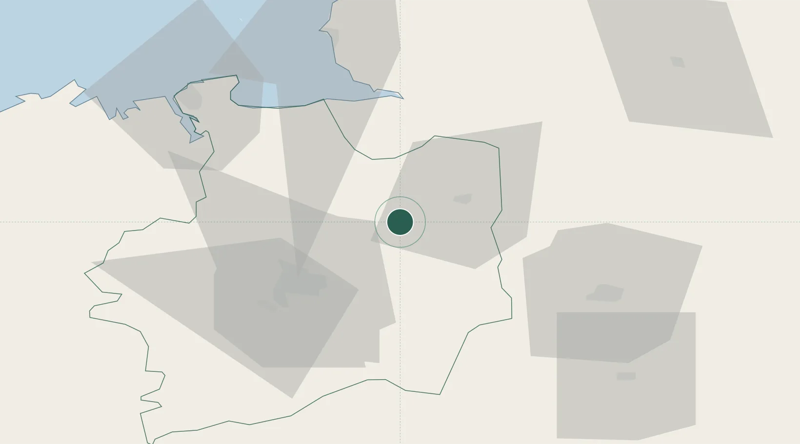
Saint-Jean-sur-Couesnon
48.2833°, -1.3667°
1,015
Population
1
Transport functions
Transport Functions
Multimodal
Hub Profile
Place type
Populated place
Region
Brittany
Population
1,015
Time zone
Europe/Paris
Elevation
64 m
Location
Nearby Logistics Neighbours
Cities
- 1Mézières-sur-Couesnon6 km
- 2Baillé7 km
- 3Combourtillé9 km
- 4Fougères14 km
- 5Beaucé16 km
Ports
- 1Saint-Malo63 km
- 2Granville64 km
- 3Le Legue106 km
- 4Saint Helier Harbour114 km
- 5Donges121 km
Airports
- 1Rennes-Saint-Jacques Airport36 km
- 2Laval-Entrammes Airport54 km
- 3Dinard Pleurtuit Saint-Malo airport63 km
- 4Granville Airport68 km
- 5Angers Marcé airport112 km
Trade Zones
- 1ZFU Angers106 km
- 2ZFU Alençon108 km
- 3ZFU Le Mans116 km
- 4ZFU Nantes et Saint-Herblain120 km
- 5ZFU La Guérinière, La Grâce de Dieu122 km
DatabookThe Record of Consolidated Knowledge
France beyond logistics?