UN/LOCODE hub · France
FRXDY

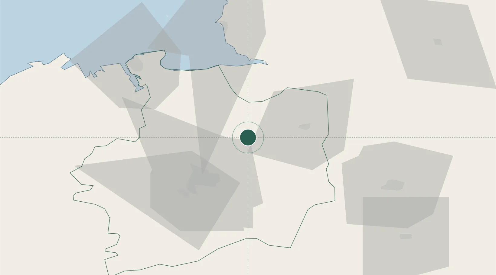
Mézières-sur-Couesnon

48.3000°, -1.4500°
894
Population
1
Transport functions

Transport Functions

Multimodal
UN/LOCODE

Hub Profile

Place type
Populated place
GeoNames
Region
Brittany
GeoNames
Population
894
GeoNames
Time zone
Europe/Paris
GeoNames
Elevation
92 m
GeoNames

Location

Location of FRXDY
Natural Earth 10m (public domain) · Brittany · FRXDY · 48.30, -1.45GoogleOSMYandex

Nearby Logistics Neighbours

Cities
  1. 1Saint-Jean-sur-Couesnon6 km
  2. 2Baillé8 km
  3. 3Combourtillé15 km
  4. 4Montreuil-sur-Ille16 km
  5. 5Val-Couesnon19 km
Nearest neighbours — logibook spatial index (haversine) over the source coordinates
Ports
  1. 1Saint-Malo57 km
  2. 2Granville60 km
  3. 3Le Legue99 km
  4. 4Saint Helier Harbour110 km
  5. 5Donges120 km
Nearest neighbours — logibook spatial index (haversine) over the source coordinates
Airports
  1. 1Rennes-Saint-Jacques Airport33 km
  2. 2Dinard Pleurtuit Saint-Malo airport56 km
  3. 3Laval-Entrammes Airport60 km
  4. 4Granville Airport65 km
  5. 5Saint-Brieuc-Armor Airport107 km
Nearest neighbours — logibook spatial index (haversine) over the source coordinates
Trade Zones
  1. 1ZFU Angers111 km
  2. 2ZFU Alençon114 km
  3. 3ZFU Nantes et Saint-Herblain121 km
  4. 4ZFU Le Mans122 km
  5. 5ZFU La Guérinière, La Grâce de Dieu125 km
Nearest neighbours — logibook spatial index (haversine) over the source coordinates
DatabookThe Record of Consolidated Knowledge
France beyond logistics?
Browse databook

All Sources

LocationsUN/LOCODE
UN/LOCODE — free
LocationsGeoNames
CC BY 4.0
Portsthe NGA World Port Index
Public domain (US gov)
AirportsOurAirports
Public domain
Trade Zonesthe World Bank SEZ database
CC BY 4.0
Trade ZonesOpen Zone Map
CC BY
← France locations