Transport Functions
Road
Multimodal
Hub Profile
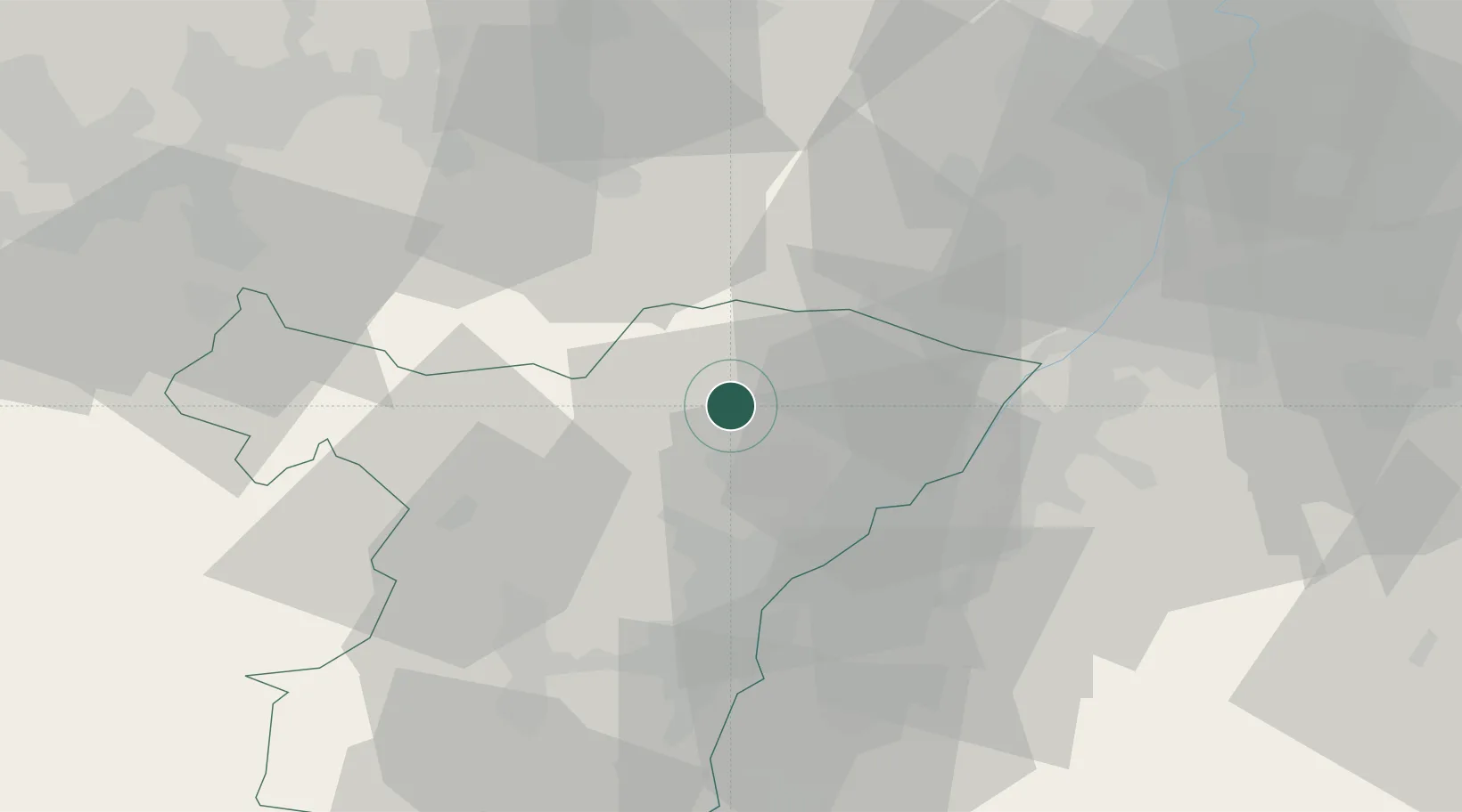
Place type
Populated place
Region
Grand Est
Population
1,062
Time zone
Europe/Paris
Elevation
168 m
Location
Nearby Logistics Neighbours
Cities
- 1Gundershoffen7 km
- 2Reichshoffen8 km
- 3Retschwiller9 km
- 4Haguenau9 km
- 5Uberach11 km
Airports
- 1Karlsruhe Baden-Baden Airport27 km
- 2Strasbourg Airport42 km
- 3Phalsbourg-Bourscheid Air Base44 km
- 4Lahr Airport59 km
- 5Saarbrücken Airport59 km
Trade Zones
- 1ZFU Hautepierre34 km
- 2ZFU Neuhof40 km
- 3ZFU La Cité Behren-lès-Forbach68 km
- 4ZFU Metz119 km
- 5ZFU Maxéville, Laxou, et de Nancy119 km
DatabookThe Record of Consolidated Knowledge
France beyond logistics?