Medium airport · Germany

Saarbrücken AirportEDDR
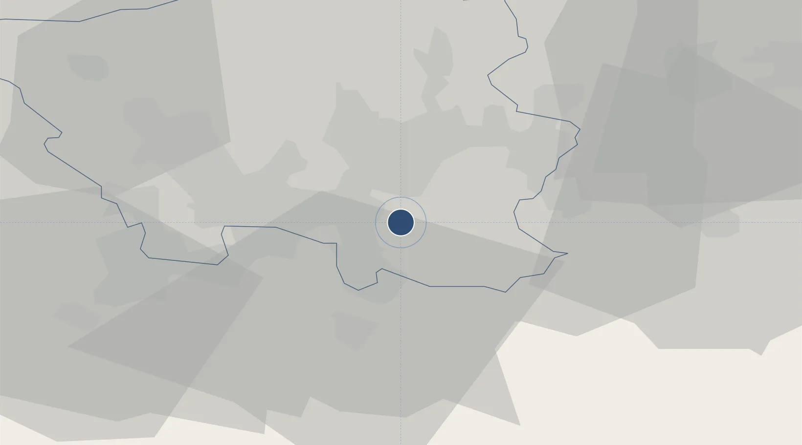
49.2145°, 7.1097°
6,562 ft
Longest runway
1
Runways
1,058 ft
Elevation

Runway & Layout

Saarbrücken Airport runway & taxiway layout
Runway & taxiway layout — OpenStreetMap (ODbL) / OurAirports

Radio Frequencies

ATIS
125.48 MHz
Saarbruekcen ATIS
TWR
118.355 MHz
Saarbruekcen Tower / Turm
GND
118.555 MHz
Saarbruekcen Ground / Rollkontrolle
AFIS
123.525 MHz
Langen Information
RDR
129.675 MHz
LANGEN RADAR
OurAirports

Navaids

SAD DME Saarbrucken 116.75 MHz
SBN NDB Saarbrucken 343 kHz
SR NDB Ensheim 360 kHz
OurAirports

Runways · 1

RunwayDimensions SurfaceTrue headingLit
08/26 6,562 × 148ft Asphalt 087°
OurAirports

Airport Specifications

IATA code
SCN
OurAirports
ICAO code
EDDR
OurAirports
Airport class
Medium airport
OurAirports
Scheduled service
Yes
OurAirports
Runway surface
Asphalt
OurAirports
Served city
Saarbrücken
OurAirports

Location

Location of EDDR
Natural Earth 10m (public domain) · Saarland · EDDR · 49.21, 7.11GoogleOSMYandex

Nearby Logistics Neighbours

Airports
  1. 1Ramstein Air Base43 km
  2. 2Phalsbourg-Bourscheid Air Base50 km
  3. 3Metz-Nancy-Lorraine Airport68 km
  4. 4Luxembourg-Findel International Airport80 km
  5. 5Frankfurt-Hahn Airport82 km
Nearest neighbours — logibook spatial index (haversine) over the source coordinates
Cities
  1. 1Mandelbachtal7 km
  2. 2Sankt Ingbert8 km
  3. 3Sulzbach/Saar8 km
  4. 4Blieskastel10 km
  5. 5Gersheim11 km
Nearest neighbours — logibook spatial index (haversine) over the source coordinates
Ports
  1. 1Bruxelles269 km
  2. 2Antwerpen295 km
  3. 3Ghent317 km
  4. 4Hansweert332 km
  5. 5Terneuzen333 km
Nearest neighbours — logibook spatial index (haversine) over the source coordinates
Trade Zones
  1. 1ZFU La Cité Behren-lès-Forbach14 km
  2. 2ZFU Metz70 km
  3. 3ZFU Woippy-Metz70 km
  4. 4Luxembourg Free Port80 km
  5. 5ZFU Hautepierre81 km
Nearest neighbours — logibook spatial index (haversine) over the source coordinates
DatabookThe Record of Consolidated Knowledge
Germany beyond logistics?
Browse databook

All Sources

AirportsOurAirports
Public domain
Portsthe NGA World Port Index
Public domain (US gov)
LocationsUN/LOCODE
UN/LOCODE — free
Trade Zonesthe World Bank SEZ database
CC BY 4.0
Trade ZonesOpen Zone Map
CC BY
InfrastructureOpenStreetMap
ODbL 1.0
← Germany airports