Transport Functions
Rail
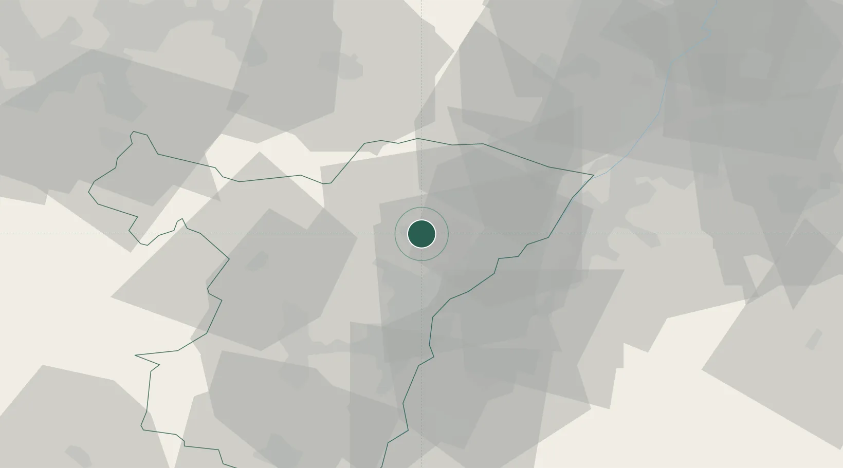
Hub Profile
Place type
District seat
Region
Grand Est
Population
38,721
Time zone
Europe/Paris
Elevation
144 m
Location
Nearby Logistics Neighbours
Cities
- 1Durrenbach9 km
- 2Geudertheim11 km
- 3Uberach12 km
- 4Gundershoffen13 km
- 5Herrlisheim13 km
Airports
- 1Karlsruhe Baden-Baden Airport22 km
- 2Strasbourg Airport33 km
- 3Phalsbourg-Bourscheid Air Base43 km
- 4Lahr Airport50 km
- 5Saarbrücken Airport66 km
Trade Zones
- 1ZFU Hautepierre26 km
- 2ZFU Neuhof31 km
- 3ZFU La Cité Behren-lès-Forbach74 km
- 4ZFU Maxéville, Laxou, et de Nancy119 km
- 5ZFU Metz123 km
DatabookThe Record of Consolidated Knowledge
France beyond logistics?