Transport Functions
Rail
Road
Hub Profile
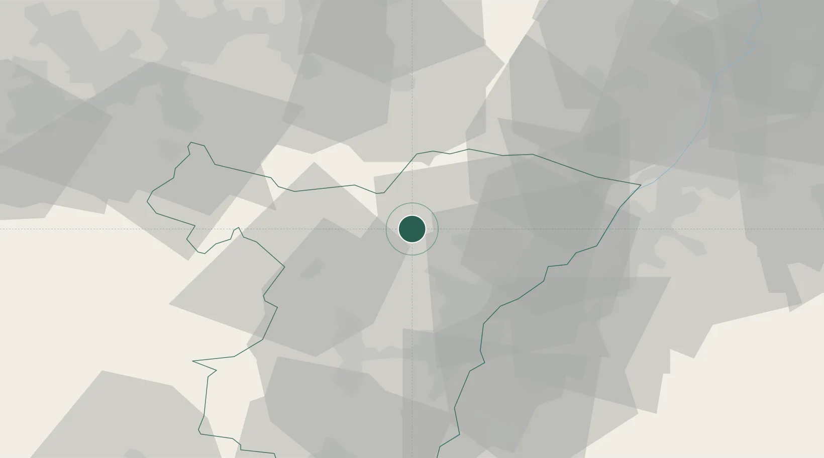
Place type
Populated place
Region
Grand Est
Population
1,159
Time zone
Europe/Paris
Elevation
170 m
Location
Nearby Logistics Neighbours
Cities
- 1Pfaffenhoffen1 km
- 2La Walck1 km
- 3Niedermodern2 km
- 4La Walk2 km
- 5Gundershoffen6 km
Airports
- 1Phalsbourg-Bourscheid Air Base33 km
- 2Karlsruhe Baden-Baden Airport34 km
- 3Strasbourg Airport35 km
- 4Lahr Airport55 km
- 5Saarbrücken Airport56 km
Trade Zones
- 1ZFU Hautepierre29 km
- 2ZFU Neuhof36 km
- 3ZFU La Cité Behren-lès-Forbach62 km
- 4ZFU Maxéville, Laxou, et de Nancy109 km
- 5ZFU Metz111 km
DatabookThe Record of Consolidated Knowledge
France beyond logistics?