Transport Functions
Multimodal
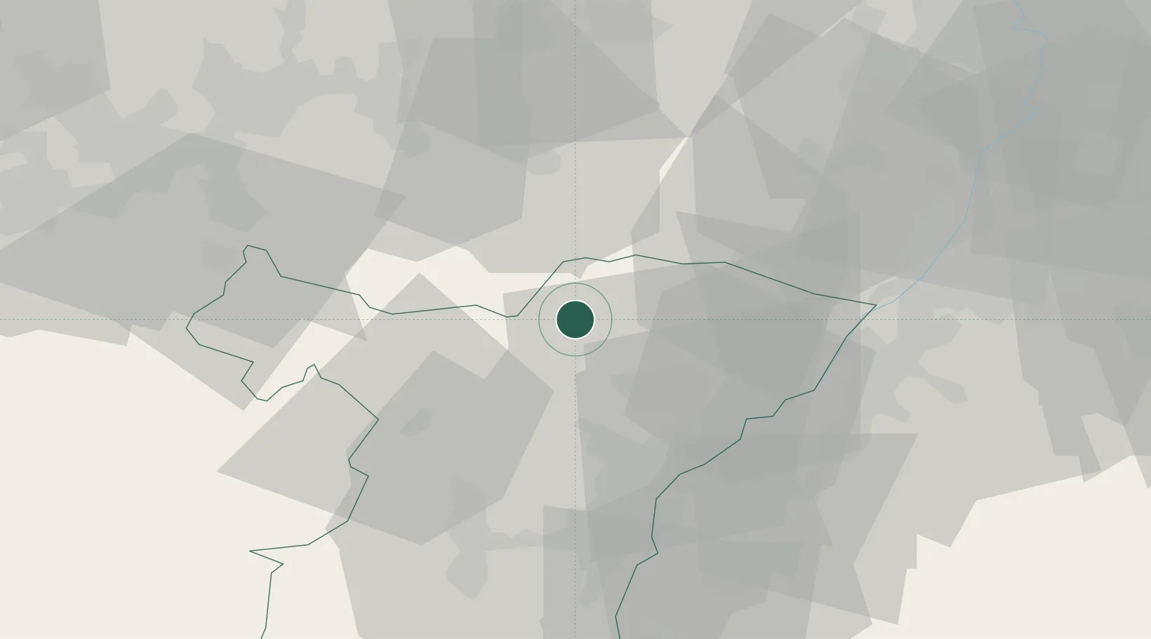
Hub Profile
Place type
Populated place
Region
Grand Est
Population
5,539
Time zone
Europe/Paris
Elevation
175 m
Location
Nearby Logistics Neighbours
Cities
- 1Gundershoffen4 km
- 2Durrenbach8 km
- 3Uberach10 km
- 4Pfaffenhoffen10 km
- 5La Walck10 km
Airports
- 1Karlsruhe Baden-Baden Airport35 km
- 2Phalsbourg-Bourscheid Air Base39 km
- 3Strasbourg Airport44 km
- 4Saarbrücken Airport51 km
- 5Ramstein Air Base56 km
Trade Zones
- 1ZFU Hautepierre38 km
- 2ZFU Neuhof44 km
- 3ZFU La Cité Behren-lès-Forbach60 km
- 4ZFU Metz111 km
- 5ZFU Maxéville, Laxou, et de Nancy113 km
DatabookThe Record of Consolidated Knowledge
France beyond logistics?