Transport Functions
Multimodal
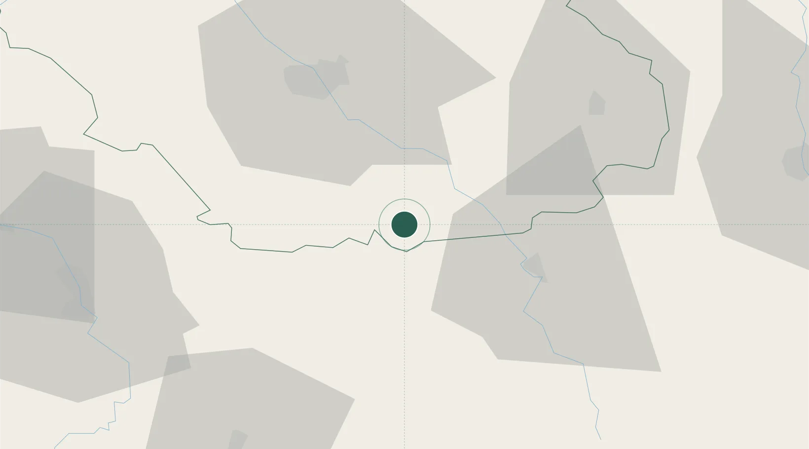
Hub Profile
Place type
Populated place
Region
Grand Est
Population
203
Time zone
Europe/Paris
Elevation
218 m
Location
Nearby Logistics Neighbours
Cities
- 1Avirey-Lingey6 km
- 2Channes6 km
- 3Les Riceys6 km
- 4Villedieu10 km
- 5Buxeuil11 km
Ports
- 1Port Of Rouen287 km
- 2Saint-Valery-Sur-Somme312 km
- 3Le Treport314 km
- 4Dieppe319 km
- 5Bruxelles321 km
Airports
- 1Troyes-Barberey Airport43 km
- 2Auxerre Branches airport60 km
- 3Saint-Dizier – Robinson Air Base86 km
- 4Chalons Vatry airport88 km
- 5Dijon Longvic airport100 km
Trade Zones
DatabookThe Record of Consolidated Knowledge
France beyond logistics?