Medium airport · France
Châteauroux Déols airportLFLX
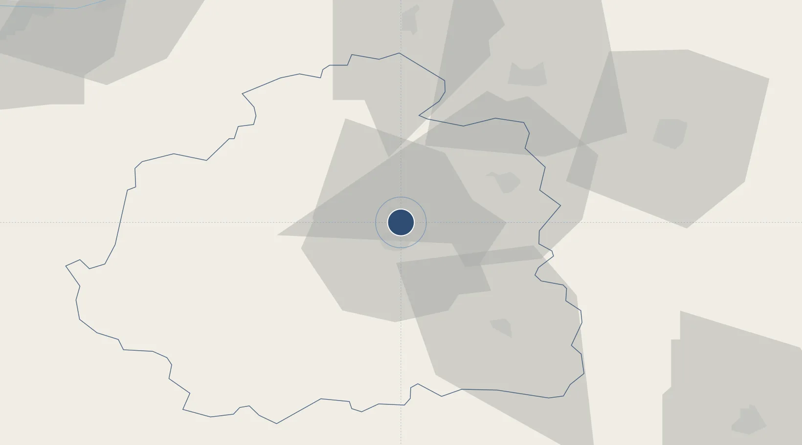
46.8602°, 1.7283°
11,483 ft
Longest runway
1
Runways
529 ft
Elevation
Runway & Layout

Radio Frequencies
TWR
125.875 MHz
CHATEAUROUX TWR
AFIS
125.875 MHz
CHATEAUROUX INFO
ARR
130.9 MHz
POITERS APP
Navaids
CTX NDB Châteauroux 428 kHz
Runways · 1
| Runway | Dimensions | Surface | True heading | Lit |
|---|---|---|---|---|
| 03/21 | 11,483 × 148ft | Concrete | 033° | ✓ |
Airport Specifications
IATA code
CHR
ICAO code
LFLX
Airport class
Medium airport
Scheduled service
No
Runway surface
Concrete
Served city
Châteauroux
Location
Nearby Logistics Neighbours
Airports
- 1Bourges airport54 km
- 2Avord (BA 702) Air Base72 km
- 3Montluçon-Guéret Airport86 km
- 4Tours Val de Loire Airport99 km
- 5Nevers-Fourchambault Airport106 km
Cities
- 1Châteauroux6 km
- 2Neuvy-Pailloux10 km
- 3La Cueille13 km
- 4Saint-Valentin15 km
- 5Lizeray19 km
Ports
- 1Tonnay Charente226 km
- 2Rochefort230 km
- 3La Rochelle234 km
- 4La Pallice238 km
- 5Nantes253 km
Trade Zones
- 1ZFU Bourges52 km
- 2ZFU Blois87 km
- 3ZFU Orléans113 km
- 4ZFU Clermont-Ferrand158 km
- 5ZFU Le Mans174 km
DatabookThe Record of Consolidated Knowledge
France beyond logistics?