UN/LOCODE hub · France
FRC9M

Condé-sur-Marne

49.0500°, 4.1833°
666
Population
1
Transport functions

Transport Functions

Multimodal
UN/LOCODE

Hub Profile

Place type
Populated place
GeoNames
Region
Grand Est
GeoNames
Population
666
GeoNames
Time zone
Europe/Paris
GeoNames
Elevation
79 m
GeoNames

Location

Location of FRC9M
Natural Earth 10m (public domain) · Grand Est · FRC9M · 49.05, 4.18GoogleOSMYandex

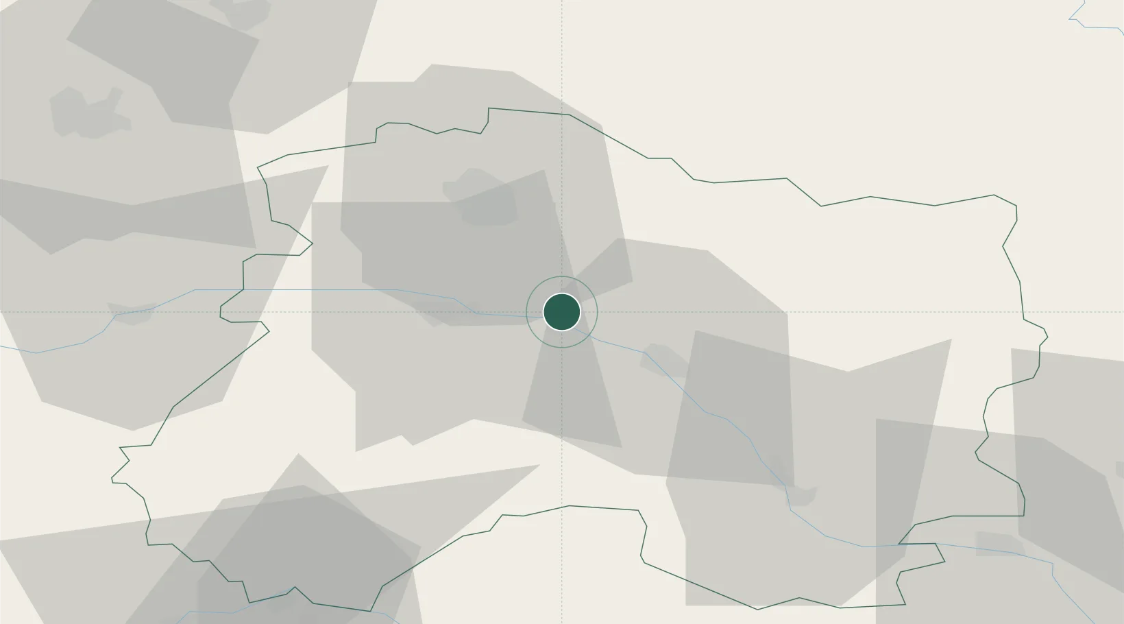
Nearby Logistics Neighbours

Cities
  1. 1Ambonnay2 km
  2. 2Athis5 km
  3. 3Trépail6 km
  4. 4Billy-le-Grand7 km
  5. 5Tauxières-Mutry7 km
Nearest neighbours — logibook spatial index (haversine) over the source coordinates
Ports
  1. 1Bruxelles202 km
  2. 2Ghent227 km
  3. 3Antwerpen241 km
  4. 4Bruges252 km
  5. 5Nieuwpoort253 km
Nearest neighbours — logibook spatial index (haversine) over the source coordinates
Airports
  1. 1Chalons Vatry airport31 km
  2. 2Saint-Dizier – Robinson Air Base70 km
  3. 3Troyes-Barberey Airport82 km
  4. 4Charleville-Mézières Ardennes-Etienne Riché Airfield88 km
  5. 5Verdun-Le Rozelier Airfield94 km
Nearest neighbours — logibook spatial index (haversine) over the source coordinates
Trade Zones
  1. 1ZFU Reims27 km
  2. 2ZFU Saint-Dizier68 km
  3. 3ZFU Presles, Chevreux73 km
  4. 4ZFU La Chapelle Saint-Luc, Les Noës-près-Troyes, Troyes, Sainte-Savine84 km
  5. 5ZFU Ronde Couture87 km
Nearest neighbours — logibook spatial index (haversine) over the source coordinates
DatabookThe Record of Consolidated Knowledge
France beyond logistics?
Browse databook

All Sources

LocationsUN/LOCODE
UN/LOCODE — free
LocationsGeoNames
CC BY 4.0
Portsthe NGA World Port Index
Public domain (US gov)
AirportsOurAirports
Public domain
Trade Zonesthe World Bank SEZ database
CC BY 4.0
Trade ZonesOpen Zone Map
CC BY
← France locations