Transport Functions
Port
Multimodal
Hub Profile
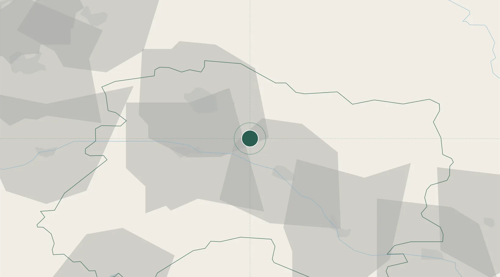
Place type
Populated place
Region
Grand Est
Population
103
Time zone
Europe/Paris
Elevation
122 m
Location
Nearby Logistics Neighbours
Cities
- 1Trépail4 km
- 2Villers-Marmery4 km
- 3Sept-Saulx6 km
- 4Ambonnay6 km
- 5Condé-sur-Marne7 km
Ports
- 1Bruxelles197 km
- 2Ghent222 km
- 3Antwerpen236 km
- 4Bruges248 km
- 5Nieuwpoort250 km
Airports
Trade Zones
DatabookThe Record of Consolidated Knowledge
France beyond logistics?