Transport Functions
Road
Multimodal
Hub Profile
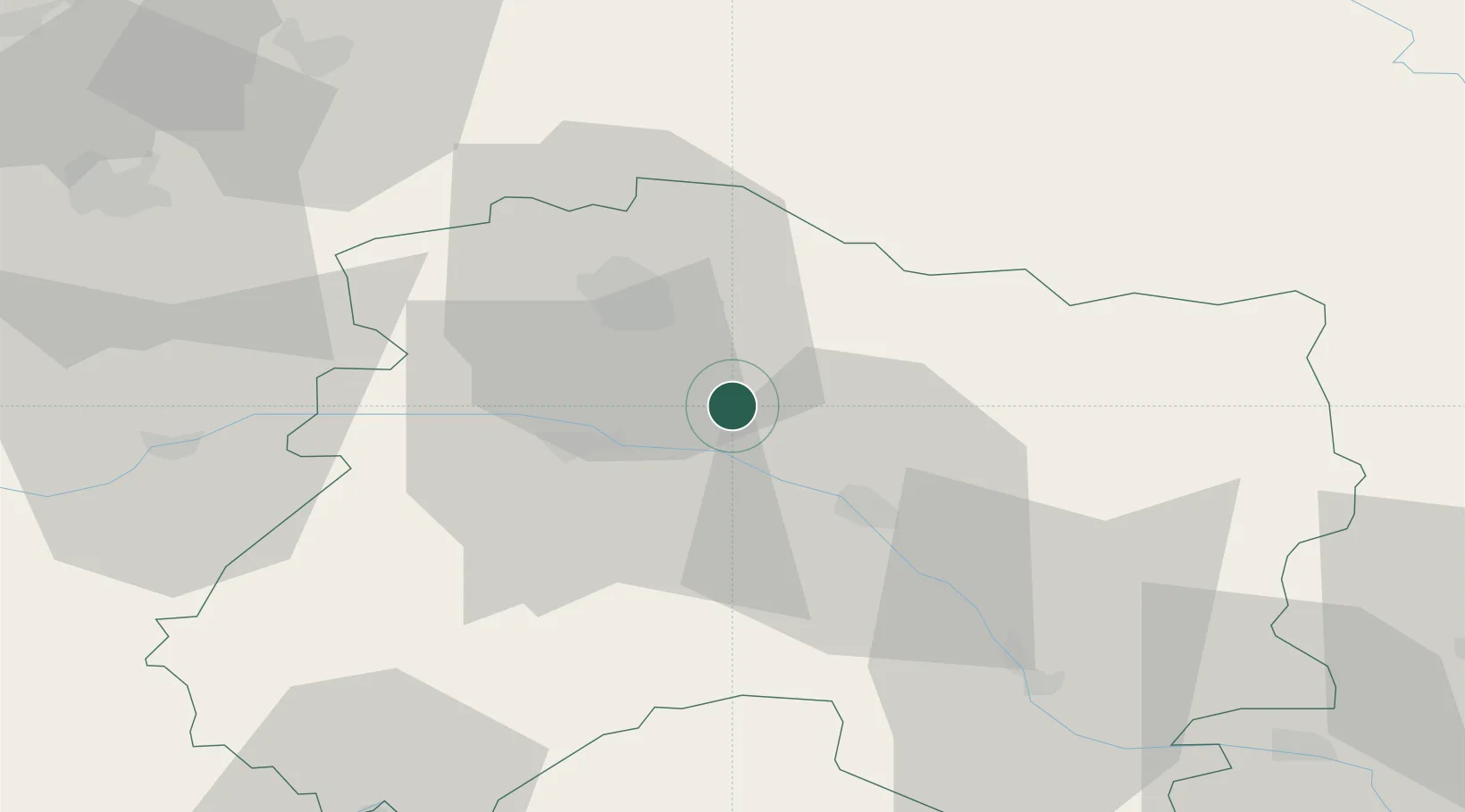
Place type
Populated place
Region
Grand Est
Population
474
Time zone
Europe/Paris
Elevation
164 m
Location
Nearby Logistics Neighbours
Cities
- 1Billy-le-Grand4 km
- 2Villers-Marmery4 km
- 3Ambonnay4 km
- 4Louvois5 km
- 5Condé-sur-Marne6 km
Ports
- 1Bruxelles197 km
- 2Ghent221 km
- 3Antwerpen236 km
- 4Bruges247 km
- 5Nieuwpoort248 km
Airports
Trade Zones
DatabookThe Record of Consolidated Knowledge
France beyond logistics?