Transport Functions
Multimodal
Hub Profile
Place type
Populated place
Region
Grand Est
Population
250
Time zone
Europe/Paris
Elevation
113 m
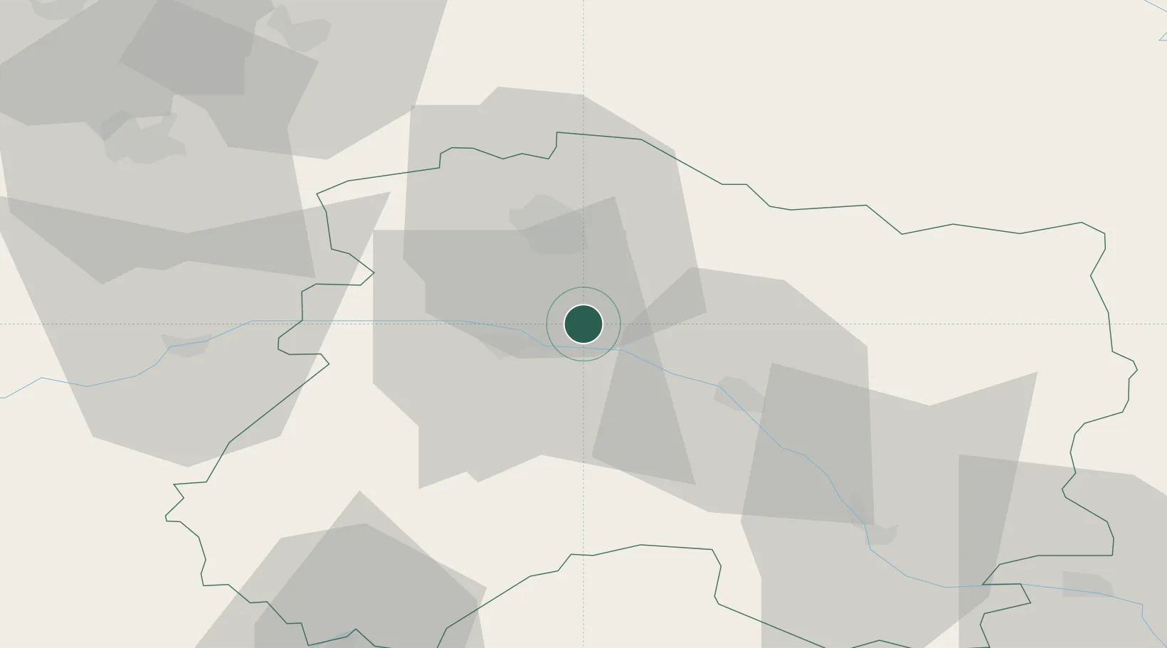
Location
Nearby Logistics Neighbours
Cities
- 1Louvois2 km
- 2Avenay-Val-d'Or4 km
- 3Ambonnay5 km
- 4Trépail6 km
- 5Mutigny6 km
Ports
- 1Bruxelles199 km
- 2Ghent222 km
- 3Antwerpen238 km
- 4Bruges247 km
- 5Nieuwpoort247 km
Airports
Trade Zones
DatabookThe Record of Consolidated Knowledge
France beyond logistics?