Transport Functions
Multimodal
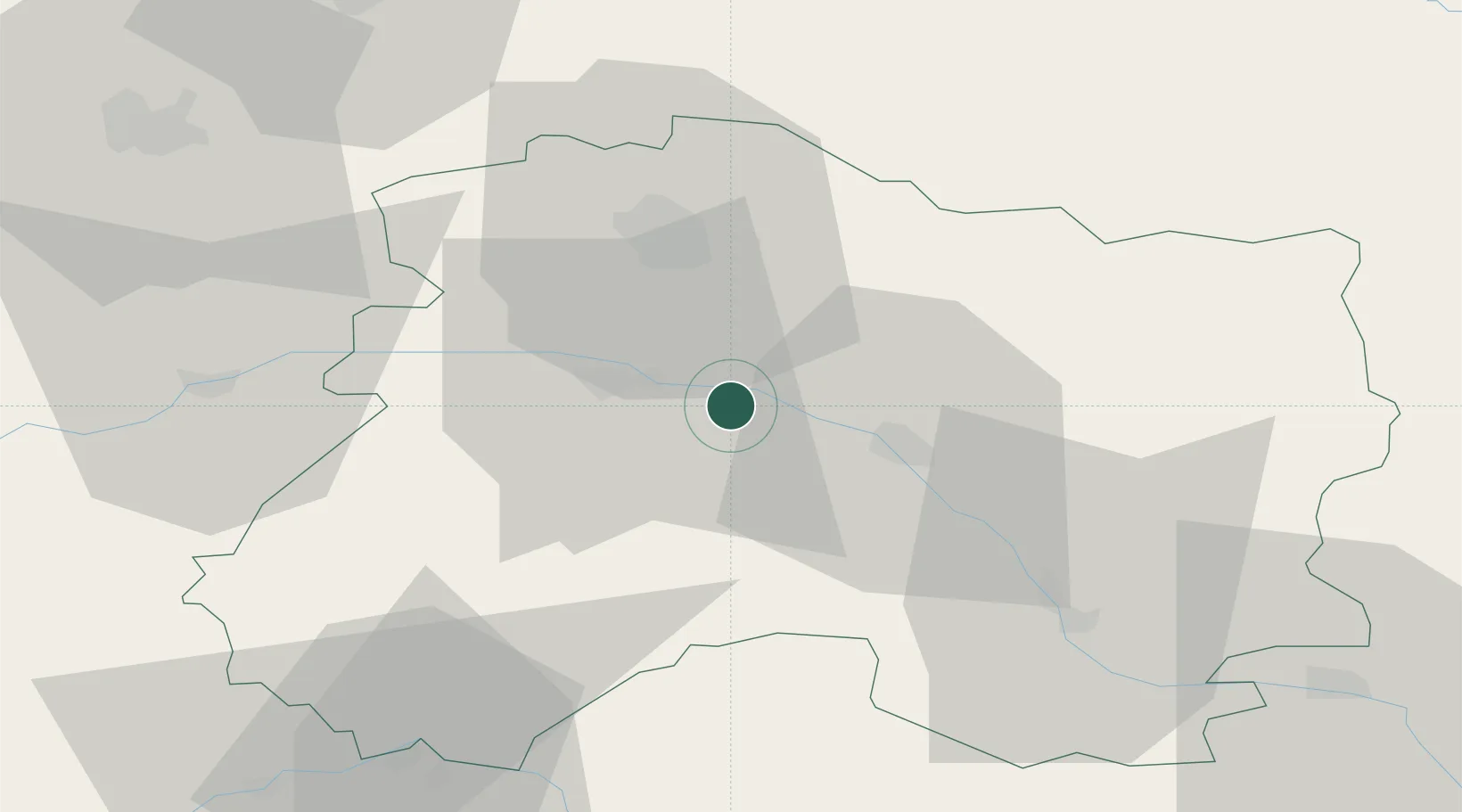
Hub Profile
Place type
Populated place
Region
Grand Est
Population
774
Time zone
Europe/Paris
Elevation
77 m
Location
Nearby Logistics Neighbours
Cities
- 1Condé-sur-Marne5 km
- 2Ambonnay6 km
- 3Tauxières-Mutry8 km
- 4Avenay-Val-d'Or8 km
- 5Louvois9 km
Ports
- 1Bruxelles206 km
- 2Ghent230 km
- 3Antwerpen245 km
- 4Bruges255 km
- 5Nieuwpoort255 km
Airports
Trade Zones
DatabookThe Record of Consolidated Knowledge
France beyond logistics?