Transport Functions
Rail
Road
Hub Profile
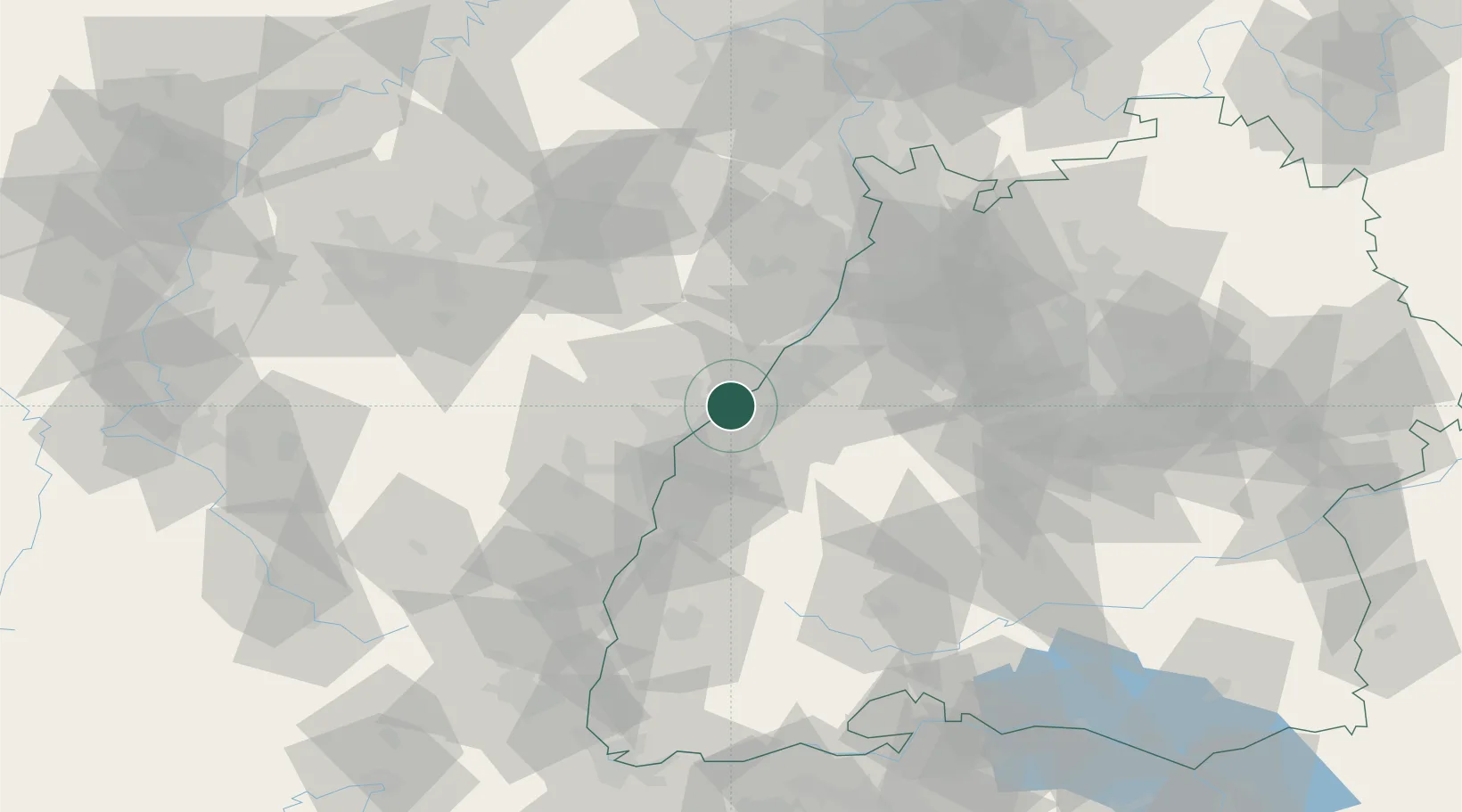
Region
BW
Location
Nearby Logistics Neighbours
Cities
- 1Greffern/Rheinmünster0 km
- 2Lichtenau (Baden)2 km
- 3Grauelsbaum2 km
- 4Stollhofen2 km
- 5Helmlingen6 km
Airports
- 1Karlsruhe Baden-Baden Airport7 km
- 2Strasbourg Airport36 km
- 3Lahr Airport44 km
- 4Phalsbourg-Bourscheid Air Base59 km
- 5Ramstein Air Base82 km
Trade Zones
- 1ZFU Hautepierre28 km
- 2ZFU Neuhof29 km
- 3ZFU La Cité Behren-lès-Forbach91 km
- 4ZFU Mulhouse122 km
- 5ZFU Maxéville, Laxou, et de Nancy135 km
DatabookThe Record of Consolidated Knowledge
Germany beyond logistics?