Economic Revitalization Project · France

ZFU Epinay-sous-Sénart Active
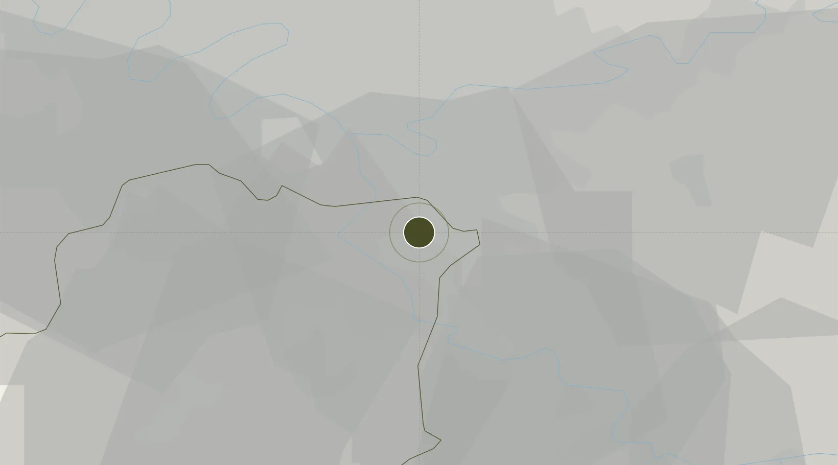
48.6885°, 2.4977°
237 ha
Zone area
134.3 km
Nearest port
9.5 km
Nearest airport

Gateway access

Nearest neighbours — logibook spatial index (haversine) over the source coordinates

Zone profile

Zone type
Economic Revitalization Project
Open Zone Map
Region
Essonne
Open Zone Map
Status
Active
Open Zone Map
Management
Public
Open Zone Map
Operator
Epinay-sous-Sénart
Open Zone Map
Legal framework
Décret no 65-939 du 8 novembre 1965, Décret du 9 Octobre 2008
Open Zone Map

Location

Location of ozm-2006
Natural Earth 10m (public domain) · Essonne · ozm-2006 · 48.69, 2.50GoogleOSMYandex

Nearby Logistics Neighbours

Ports
  1. 1Port Of Rouen134 km
  2. 2Dieppe172 km
  3. 3Le Treport174 km
  4. 4Saint-Valery-Sur-Somme178 km
  5. 5Honfleur185 km
Nearest neighbours — logibook spatial index (haversine) over the source coordinates
Airports
  1. 1Paris-Orly Airport10 km
  2. 2Melun-Villaroche Airfield16 km
  3. 3Vélizy-Villacoublay Air Base24 km
  4. 4Toussus-le-Noble Airport30 km
  5. 5Paris-Le Bourget International Airport31 km
Nearest neighbours — logibook spatial index (haversine) over the source coordinates
Cities
  1. 1Brunoy1 km
  2. 2Boussy-Saint-Antoine3 km
  3. 3Limeil-Brévannes5 km
  4. 4Valenton6 km
  5. 5Soisy-sur-Seine6 km
Nearest neighbours — logibook spatial index (haversine) over the source coordinates
Trade Zones
  1. 1ZFU Grigny Viry-Châtillon9 km
  2. 2ZFU Choisy-le-Roi et Orly11 km
  3. 3ZFU Corbeil-Evry11 km
  4. 4ZFU Champigny-sur-Marne et Chennevières-sur-Marne12 km
  5. 5ZFU Vitry-sur-Seine14 km
Nearest neighbours — logibook spatial index (haversine) over the source coordinates
DatabookThe Record of Consolidated Knowledge
France beyond logistics?
Browse databook

All Sources

Trade ZonesOpen Zone Map
CC BY
Portsthe NGA World Port Index
Public domain (US gov)
AirportsOurAirports
Public domain
LocationsUN/LOCODE
UN/LOCODE — free
← France trade zones