Transport Functions
Rail
Road
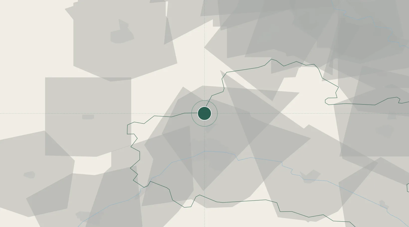
Hub Profile
Place type
Populated place
Region
Centre-Val de Loire
Population
1,855
Time zone
Europe/Paris
Elevation
122 m
Location
Nearby Logistics Neighbours
Cities
- 1Ruan5 km
- 2Sougy8 km
- 3Bazoches-les-Gallerandes16 km
- 4Orgères-en-Beauce16 km
- 5Ormes17 km
Ports
- 1Port Of Rouen163 km
- 2Honfleur192 km
- 3Deauville194 km
- 4Port Of Le Havre202 km
- 5Port De Caen205 km
Airports
- 1Orléans-Bricy (BA 123) Air Base14 km
- 2Châteaudun Airfield38 km
- 3Toussus-le-Noble Airport76 km
- 4Paris-Orly Airport80 km
- 5Vélizy-Villacoublay Air Base80 km
Trade Zones
- 1ZFU Orléans24 km
- 2ZFU Corbeil-Evry70 km
- 3ZFU Blois72 km
- 4ZFU Grigny Viry-Châtillon75 km
- 5ZFU Melun76 km
DatabookThe Record of Consolidated Knowledge
France beyond logistics?