Transport Functions
Port
Road
Hub Profile
Place type
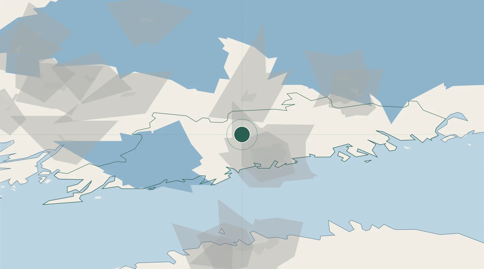
Populated place
Region
Uusimaa
Time zone
Europe/Helsinki
Elevation
68 m
Location
Nearby Logistics Neighbours
Cities
- 1Rajamäki12 km
- 2Ojakkala20 km
- 3Tikkurila (Dickursby)25 km
- 4Nummela26 km
- 5Malmi28 km
Airports
- 1Helsinki Vantaa Airport21 km
- 2Helsinki East-Redstone Aerodrome104 km
- 3Tallinn Linnahall Heliport112 km
- 4Lennart Meri Tallinn Airport116 km
- 5Tampere-Pirkkala Airport123 km
Trade Zones
- 1Freeport of Hanko122 km
- 2Port of Hamina-Kotka123 km
- 3Paldiski Free Zone129 km
- 4Muuga Free Zone130 km
- 5Turku Free Zone136 km
DatabookThe Record of Consolidated Knowledge
Finland beyond logistics?