Transport Functions
Multimodal
Hub Profile
Place type
Populated place
Region
Uusimaa
Population
1,426
Time zone
Europe/Helsinki
Elevation
0 m
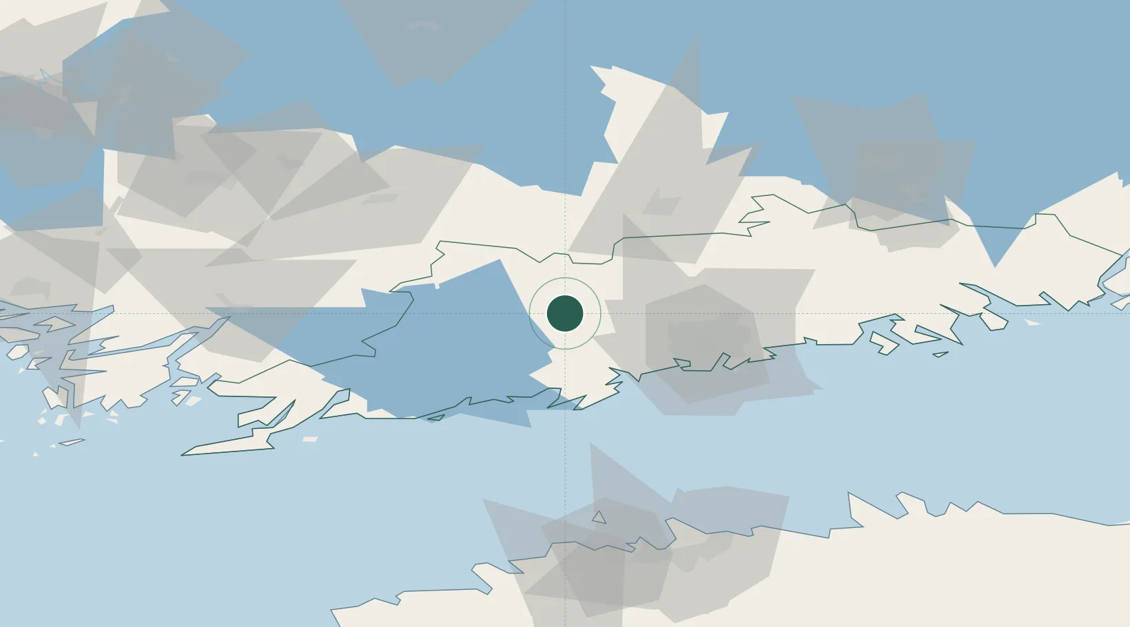
Location
Nearby Logistics Neighbours
Cities
- 1Nummela7 km
- 2Muijala14 km
- 3Perttula20 km
- 4Siuntio23 km
- 5Esbo (Espoo)24 km
Airports
- 1Helsinki Vantaa Airport32 km
- 2Tallinn Linnahall Heliport104 km
- 3Lennart Meri Tallinn Airport109 km
- 4Turku Airport118 km
- 5Helsinki East-Redstone Aerodrome122 km
Trade Zones
- 1Freeport of Hanko102 km
- 2Paldiski Free Zone116 km
- 3Turku Free Zone120 km
- 4Muuga Free Zone124 km
- 5Port of Hamina-Kotka141 km
DatabookThe Record of Consolidated Knowledge
Finland beyond logistics?