Transport Functions
Rail
Road
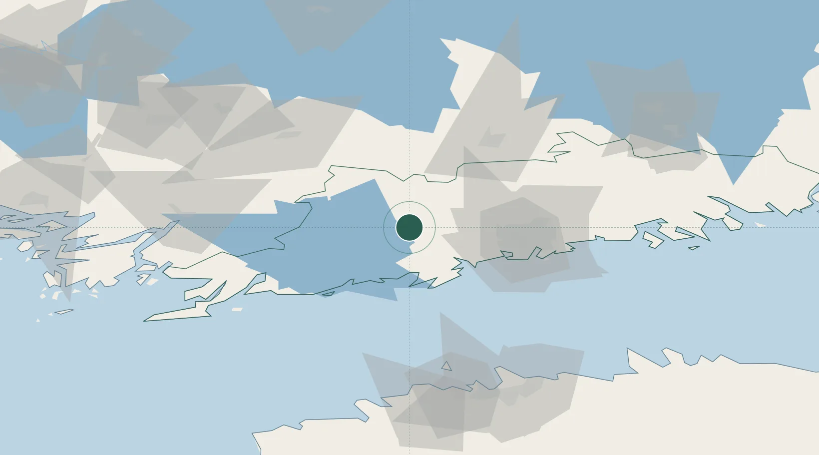
Hub Profile
Place type
Populated place
Region
Uusimaa
Time zone
Europe/Helsinki
Elevation
70 m
Location
Nearby Logistics Neighbours
Cities
- 1Ojakkala7 km
- 2Muijala8 km
- 3Siuntio16 km
- 4Masaby (Masala)22 km
- 5Esbo (Espoo)23 km
Airports
- 1Helsinki Vantaa Airport36 km
- 2Tallinn Linnahall Heliport100 km
- 3Lennart Meri Tallinn Airport105 km
- 4Turku Airport115 km
- 5Ämari Air Base118 km
Trade Zones
- 1Freeport of Hanko96 km
- 2Paldiski Free Zone110 km
- 3Turku Free Zone117 km
- 4Muuga Free Zone120 km
- 5Port of Hamina-Kotka145 km
DatabookThe Record of Consolidated Knowledge
Finland beyond logistics?