Transport Functions
Rail
Road
Hub Profile
Place type
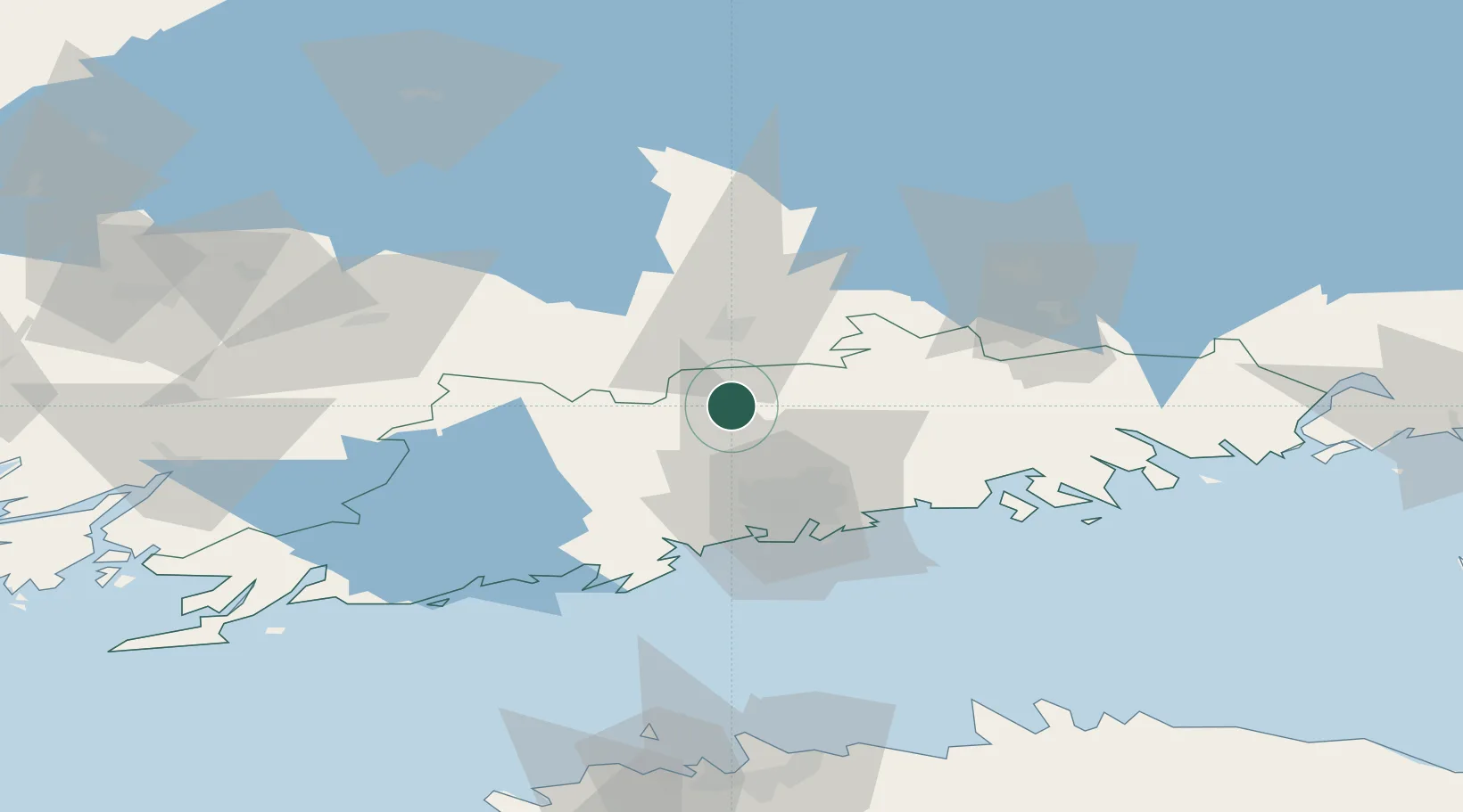
Populated place
Region
South Ostrobothnia
Time zone
Europe/Helsinki
Elevation
40 m
Logistics facilities
1
Location
Nearby Logistics Neighbours
Cities
- 1Perttula12 km
- 2Hausjärvi27 km
- 3Ojakkala29 km
- 4Tikkurila (Dickursby)32 km
- 5Sulkava32 km
Airports
- 1Helsinki Vantaa Airport28 km
- 2Helsinki East-Redstone Aerodrome101 km
- 3Tampere-Pirkkala Airport114 km
- 4Tallinn Linnahall Heliport123 km
- 5Utti Air Base124 km
Trade Zones
- 1Port of Hamina-Kotka119 km
- 2Freeport of Hanko131 km
- 3Turku Free Zone140 km
- 4Muuga Free Zone140 km
- 5Paldiski Free Zone141 km
DatabookThe Record of Consolidated Knowledge
Finland beyond logistics?