Transport Functions
Rail
Road
Hub Profile
Place type
District seat
Region
Southwest Finland
Population
3,965
Time zone
Europe/Helsinki
Elevation
51 m
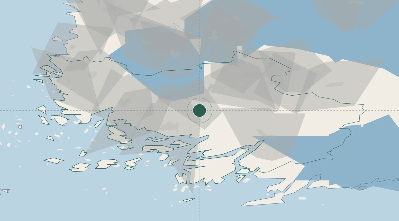
Location
Nearby Logistics Neighbours
Cities
- 1Kyro16 km
- 2Vanhalinna18 km
- 3Piikkiö19 km
- 4Littoinen20 km
- 5Nousiainen (Nousis)26 km
Ports
- 1Turku24 km
- 2Naantali33 km
- 3Pargas44 km
- 4Uusikaupunki66 km
- 5Rauma84 km
Airports
- 1Turku Airport18 km
- 2Pori Airport104 km
- 3Tampere-Pirkkala Airport107 km
- 4Helsinki Vantaa Airport136 km
- 5Ämari Air Base175 km
Trade Zones
- 1Turku Free Zone25 km
- 2Freeport of Hanko88 km
- 3Paldiski Free Zone164 km
- 4Muuga Free Zone200 km
- 5Port of Hamina-Kotka240 km
DatabookThe Record of Consolidated Knowledge
Finland beyond logistics?