Transport Functions
Rail
Road
Hub Profile
Region
16
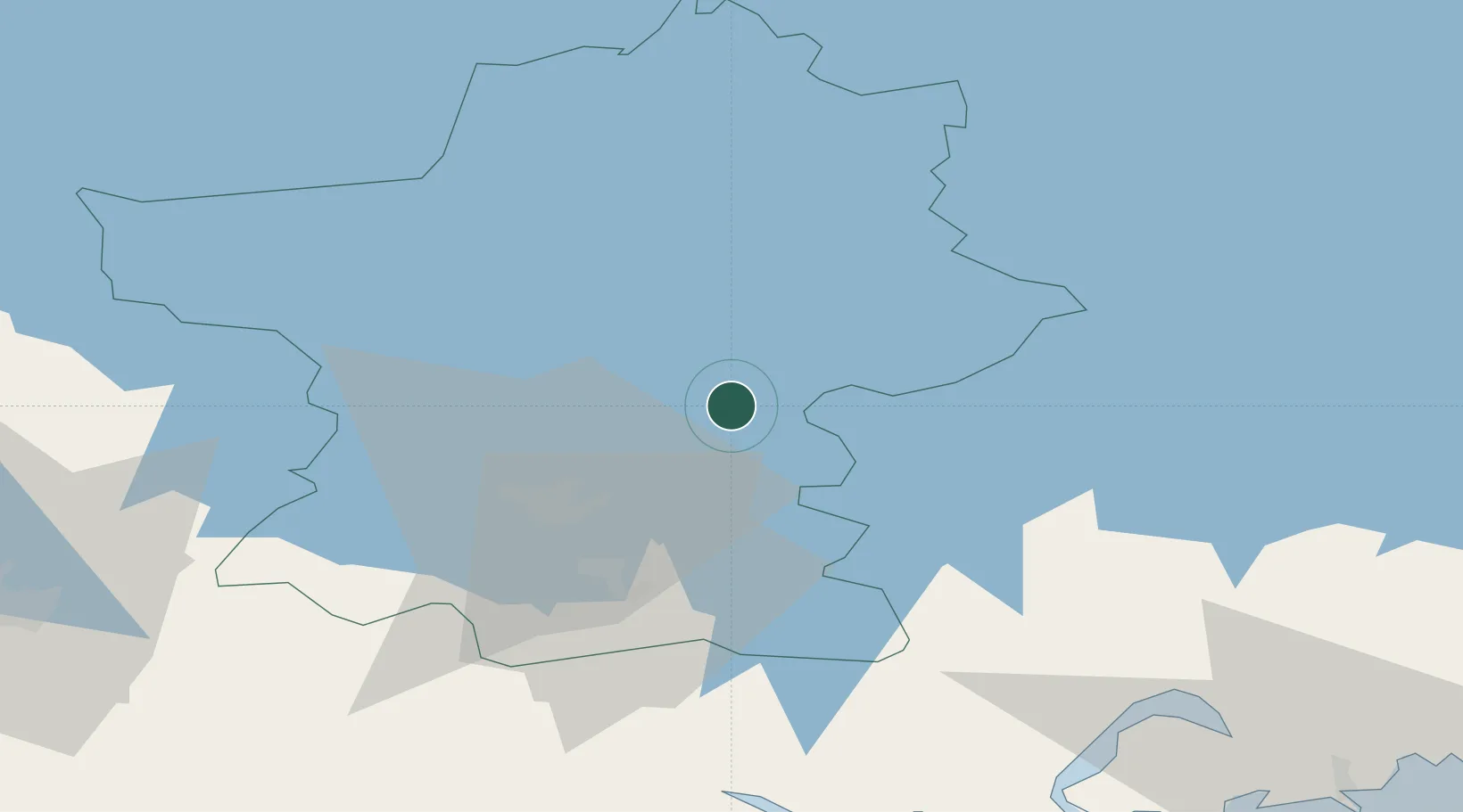
Location
Nearby Logistics Neighbours
Cities
- 1Kalliola17 km
- 2Villähde20 km
- 3Lahti (Lahtis)21 km
- 4Kouvola44 km
- 5Lindkoski57 km
Airports
- 1Utti Air Base59 km
- 2Helsinki East-Redstone Aerodrome79 km
- 3Mikkeli Airport93 km
- 4Halli Airport102 km
- 5Helsinki Vantaa Airport103 km
Trade Zones
- 1Port of Hamina-Kotka90 km
- 2Free Zone of Lappeenranta117 km
- 3Muuga Free Zone209 km
- 4Port of Sillamäe213 km
- 5Turku Free Zone215 km
DatabookThe Record of Consolidated Knowledge
Finland beyond logistics?