UN/LOCODE hub · Finland
FIKK5

Kalliola

61.0833°, 25.6333°
2
Transport functions

Transport Functions

Port
Road
UN/LOCODE

Hub Profile

Place type
Populated place
GeoNames
Region
Paijat-Hame
GeoNames
Time zone
Europe/Helsinki
GeoNames
Elevation
99 m
GeoNames

Location

Location of FIKK5
Natural Earth 10m (public domain) · Paijat-Hame · FIKK5 · 61.08, 25.63GoogleOSMYandex

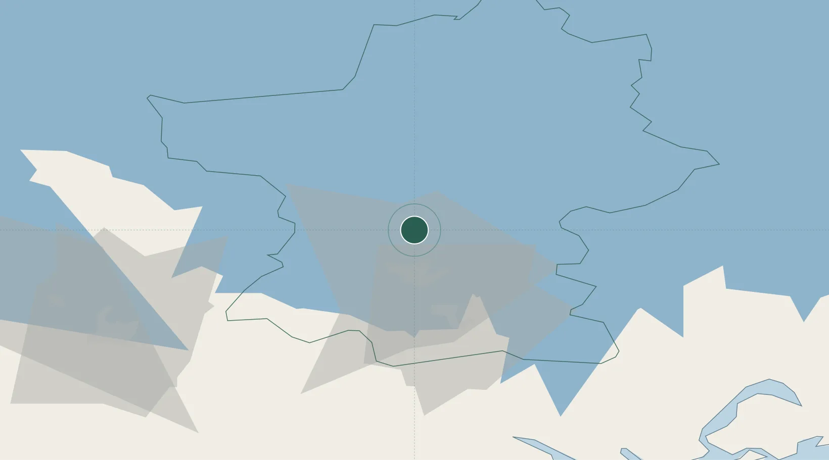
Nearby Logistics Neighbours

Cities
  1. 1Lahti (Lahtis)11 km
  2. 2Vierumäki17 km
  3. 3Villähde17 km
  4. 4Sulkava44 km
  5. 5Hausjärvi50 km
Nearest neighbours — logibook spatial index (haversine) over the source coordinates
Ports
  1. 1Loviisa78 km
  2. 2Porvoo87 km
  3. 3Kotka100 km
  4. 4Hamina103 km
  5. 5Helsinki108 km
Nearest neighbours — logibook spatial index (haversine) over the source coordinates
Airports
  1. 1Utti Air Base73 km
  2. 2Helsinki East-Redstone Aerodrome85 km
  3. 3Helsinki Vantaa Airport93 km
  4. 4Halli Airport97 km
  5. 5Mikkeli Airport107 km
Nearest neighbours — logibook spatial index (haversine) over the source coordinates
Trade Zones
  1. 1Port of Hamina-Kotka98 km
  2. 2Free Zone of Lappeenranta133 km
  3. 3Turku Free Zone199 km
  4. 4Muuga Free Zone202 km
  5. 5Freeport of Hanko205 km
Nearest neighbours — logibook spatial index (haversine) over the source coordinates
DatabookThe Record of Consolidated Knowledge
Finland beyond logistics?
Browse databook

All Sources

LocationsUN/LOCODE
UN/LOCODE — free
Portsthe NGA World Port Index
Public domain (US gov)
AirportsOurAirports
Public domain
Trade Zonesthe World Bank SEZ database
CC BY 4.0
Trade ZonesOpen Zone Map
CC BY
← Finland locations