Transport Functions
Rail
Road
Hub Profile
Region
16
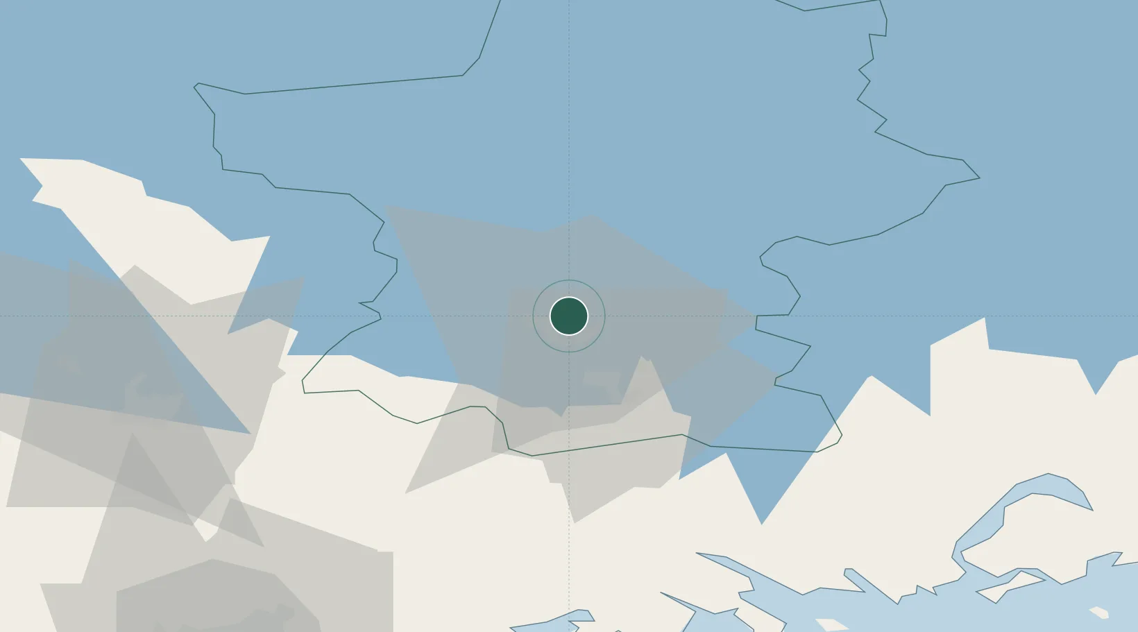
Location
Nearby Logistics Neighbours
Airports
- 1Utti Air Base70 km
- 2Helsinki East-Redstone Aerodrome76 km
- 3Helsinki Vantaa Airport83 km
- 4Halli Airport107 km
- 5Mikkeli Airport114 km
Trade Zones
- 1Port of Hamina-Kotka90 km
- 2Free Zone of Lappeenranta133 km
- 3Muuga Free Zone191 km
- 4Turku Free Zone196 km
- 5Freeport of Hanko199 km
DatabookThe Record of Consolidated Knowledge
Finland beyond logistics?