UN/LOCODE hub · Finland
FIVLH

Villähde

60.9500°, 25.8000°
2
Transport functions

Transport Functions

Rail
Road
UN/LOCODE

Hub Profile

Region
16
GeoNames

Location

Location of FIVLH
Natural Earth 10m (public domain) · 16 · FIVLH · 60.95, 25.80GoogleOSMYandex

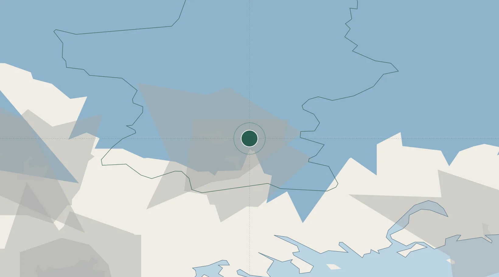
Nearby Logistics Neighbours

Cities
  1. 1Lahti (Lahtis)9 km
  2. 2Kalliola17 km
  3. 3Vierumäki20 km
  4. 4Sulkava39 km
  5. 5Kouvola42 km
Nearest neighbours — logibook spatial index (haversine) over the source coordinates
Ports
  1. 1Loviisa60 km
  2. 2Porvoo73 km
  3. 3Kotka83 km
  4. 4Hamina87 km
  5. 5Helsinki98 km
Nearest neighbours — logibook spatial index (haversine) over the source coordinates
Airports
  1. 1Utti Air Base62 km
  2. 2Helsinki East-Redstone Aerodrome68 km
  3. 3Helsinki Vantaa Airport84 km
  4. 4Mikkeli Airport111 km
  5. 5Halli Airport114 km
Nearest neighbours — logibook spatial index (haversine) over the source coordinates
Trade Zones
  1. 1Port of Hamina-Kotka82 km
  2. 2Free Zone of Lappeenranta125 km
  3. 3Muuga Free Zone189 km
  4. 4Port of Sillamäe201 km
  5. 5Freeport of Hanko203 km
Nearest neighbours — logibook spatial index (haversine) over the source coordinates
DatabookThe Record of Consolidated Knowledge
Finland beyond logistics?
Browse databook

All Sources

LocationsUN/LOCODE
UN/LOCODE — free
Portsthe NGA World Port Index
Public domain (US gov)
AirportsOurAirports
Public domain
Trade Zonesthe World Bank SEZ database
CC BY 4.0
Trade ZonesOpen Zone Map
CC BY
← Finland locations