Transport Functions
Rail
Road
Hub Profile
Place type
Regional capital
Region
Kymenlaakso
Population
78,094
Time zone
Europe/Helsinki
Elevation
81 m
Logistics facilities
1
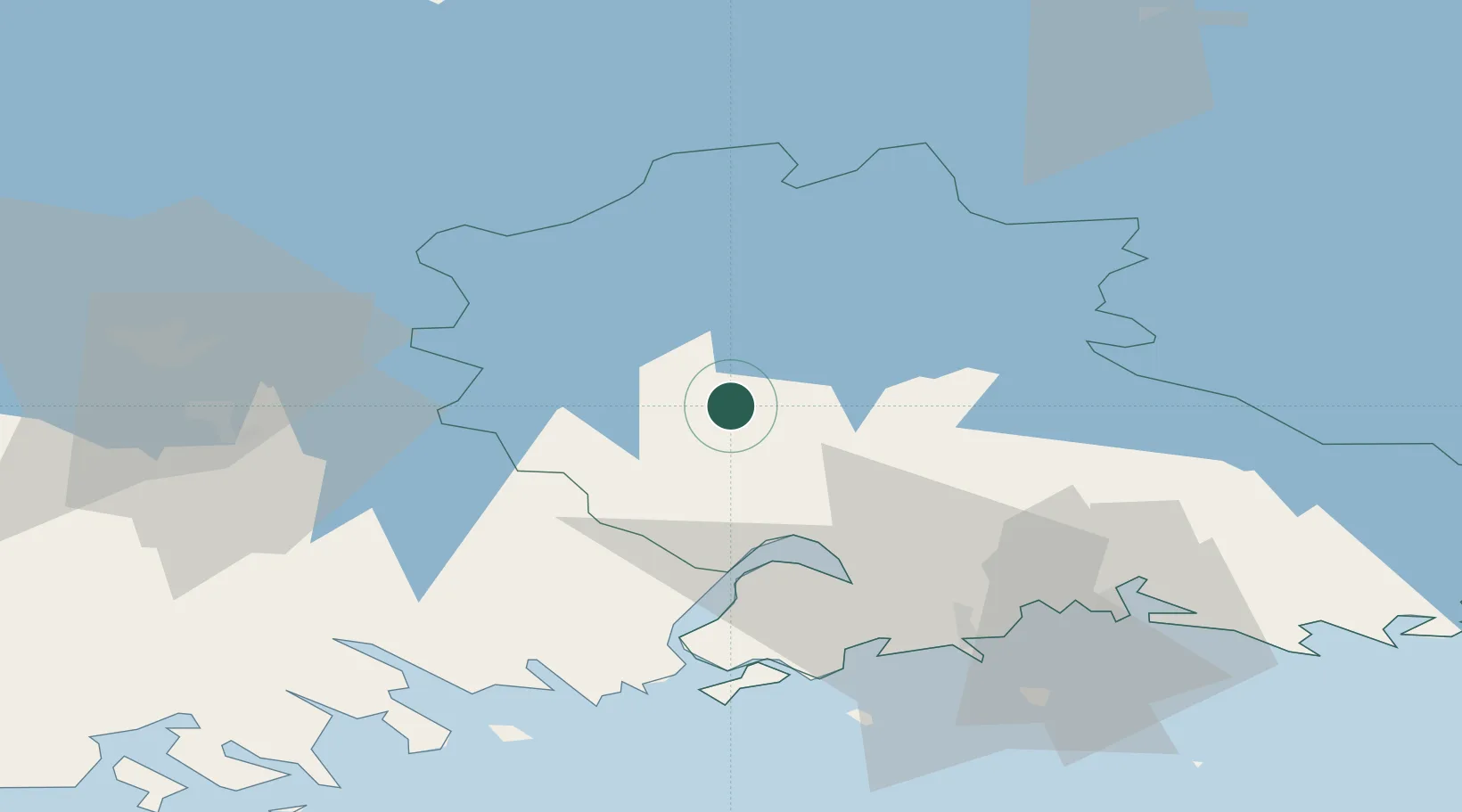
Location
Nearby Logistics Neighbours
Cities
- 1Myllykoski16 km
- 2Lindkoski30 km
- 3Kaipiainen31 km
- 4Ruotsinpyhtää (Strömfors)37 km
- 5Siltakylä (Broby)41 km
Airports
- 1Utti Air Base21 km
- 2Helsinki East-Redstone Aerodrome42 km
- 3Lappeenranta Airport88 km
- 4Mikkeli Airport98 km
- 5Helsinki Vantaa Airport106 km
Trade Zones
- 1Port of Hamina-Kotka48 km
- 2Free Zone of Lappeenranta86 km
- 3Port of Sillamäe172 km
- 4Muuga Free Zone194 km
- 5Paldiski Free Zone218 km
DatabookThe Record of Consolidated Knowledge
Finland beyond logistics?