Transport Functions
Port
Multimodal
Hub Profile
Place type
Populated place
Region
Uusimaa
Time zone
Europe/Helsinki
Elevation
88 m
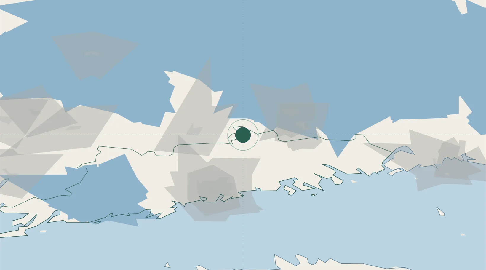
Location
Nearby Logistics Neighbours
Cities
- 1Hausjärvi15 km
- 2Rajamäki32 km
- 3Lahti (Lahtis)36 km
- 4Turenki36 km
- 5Janakkala37 km
Airports
- 1Helsinki Vantaa Airport50 km
- 2Helsinki East-Redstone Aerodrome82 km
- 3Utti Air Base96 km
- 4Tampere-Pirkkala Airport113 km
- 5Halli Airport125 km
Trade Zones
- 1Port of Hamina-Kotka100 km
- 2Free Zone of Lappeenranta161 km
- 3Muuga Free Zone162 km
- 4Freeport of Hanko164 km
- 5Turku Free Zone167 km
DatabookThe Record of Consolidated Knowledge
Finland beyond logistics?