Transport Functions
Port
Road
Hub Profile
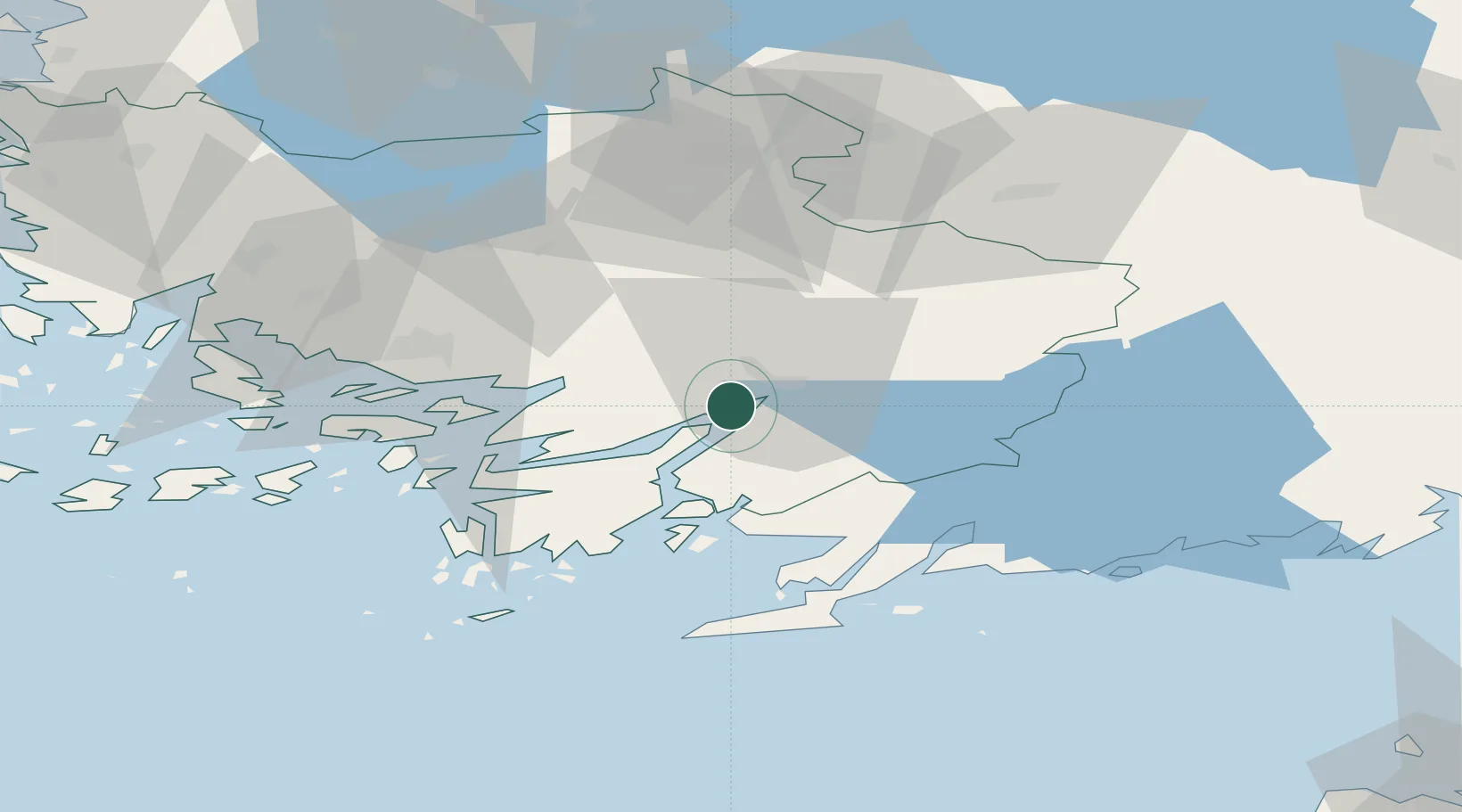
Place type
Populated place
Region
Southwest Finland
Time zone
Europe/Helsinki
Elevation
7 m
Location
Nearby Logistics Neighbours
Cities
- 1Perniö (Bjärnå)17 km
- 2Sauvo17 km
- 3Pertteli18 km
- 4Kemiö (Kimito)23 km
- 5Finby (Särkisalo)26 km
Airports
- 1Turku Airport45 km
- 2Helsinki Vantaa Airport108 km
- 3Tampere-Pirkkala Airport125 km
- 4Ämari Air Base137 km
- 5Tallinn Linnahall Heliport139 km
Trade Zones
- 1Turku Free Zone45 km
- 2Freeport of Hanko56 km
- 3Paldiski Free Zone126 km
- 4Muuga Free Zone161 km
- 5Port of Hamina-Kotka217 km
DatabookThe Record of Consolidated Knowledge
Finland beyond logistics?