Transport Functions
Multimodal
Hub Profile
Place type
District seat
Region
Southwest Finland
Population
2,968
Time zone
Europe/Helsinki
Elevation
12 m
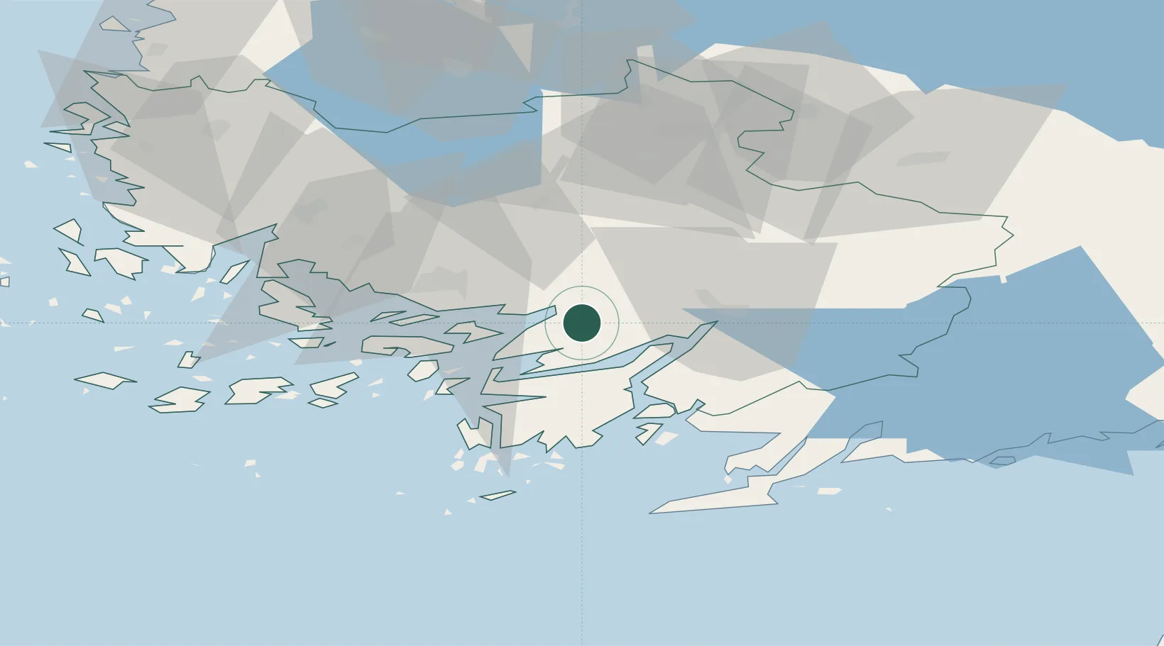
Location
Nearby Logistics Neighbours
Cities
- 1Piikkiö14 km
- 2Vartsala17 km
- 3Lielax17 km
- 4Sandö (Santasaari)19 km
- 5Littoinen19 km
Airports
- 1Turku Airport30 km
- 2Helsinki Vantaa Airport125 km
- 3Tampere-Pirkkala Airport128 km
- 4Pori Airport133 km
- 5Ämari Air Base148 km
Trade Zones
- 1Turku Free Zone29 km
- 2Freeport of Hanko59 km
- 3Paldiski Free Zone137 km
- 4Muuga Free Zone174 km
- 5Port of Hamina-Kotka233 km
DatabookThe Record of Consolidated Knowledge
Finland beyond logistics?