Transport Functions
Multimodal
Hub Profile
Place type
District seat
Region
Southwest Finland
Population
3,740
Time zone
Europe/Helsinki
Elevation
48 m
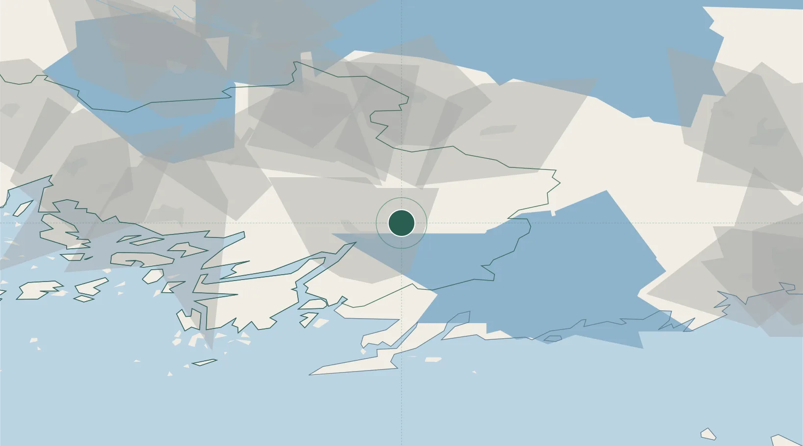
Location
Nearby Logistics Neighbours
Cities
- 1Kiikala17 km
- 2Vartsala18 km
- 3Terttila20 km
- 4Perniö (Bjärnå)27 km
- 5Sauvo33 km
Airports
- 1Turku Airport56 km
- 2Helsinki Vantaa Airport94 km
- 3Tampere-Pirkkala Airport111 km
- 4Tallinn Linnahall Heliport137 km
- 5Pori Airport139 km
Trade Zones
- 1Turku Free Zone58 km
- 2Freeport of Hanko70 km
- 3Paldiski Free Zone130 km
- 4Muuga Free Zone160 km
- 5Port of Hamina-Kotka201 km
DatabookThe Record of Consolidated Knowledge
Finland beyond logistics?