Transport Functions
Rail
Road
Hub Profile
Place type
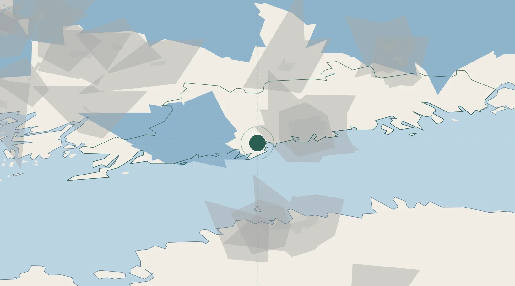
Populated place
Region
Uusimaa
Time zone
Europe/Helsinki
Elevation
15 m
Location
Nearby Logistics Neighbours
Cities
- 1Masaby (Masala)2 km
- 2Kantvik9 km
- 3Esbo (Espoo)11 km
- 4Siuntio18 km
- 5Degerby19 km
Airports
- 1Helsinki Vantaa Airport32 km
- 2Tallinn Linnahall Heliport77 km
- 3Lennart Meri Tallinn Airport82 km
- 4Ämari Air Base99 km
- 5Helsinki East-Redstone Aerodrome121 km
Trade Zones
- 1Paldiski Free Zone92 km
- 2Freeport of Hanko97 km
- 3Muuga Free Zone97 km
- 4Turku Free Zone132 km
- 5Port of Hamina-Kotka139 km
DatabookThe Record of Consolidated Knowledge
Finland beyond logistics?