Transport Functions
Port
Hub Profile
Place type
Populated place
Region
Uusimaa
Time zone
Europe/Helsinki
Elevation
18 m
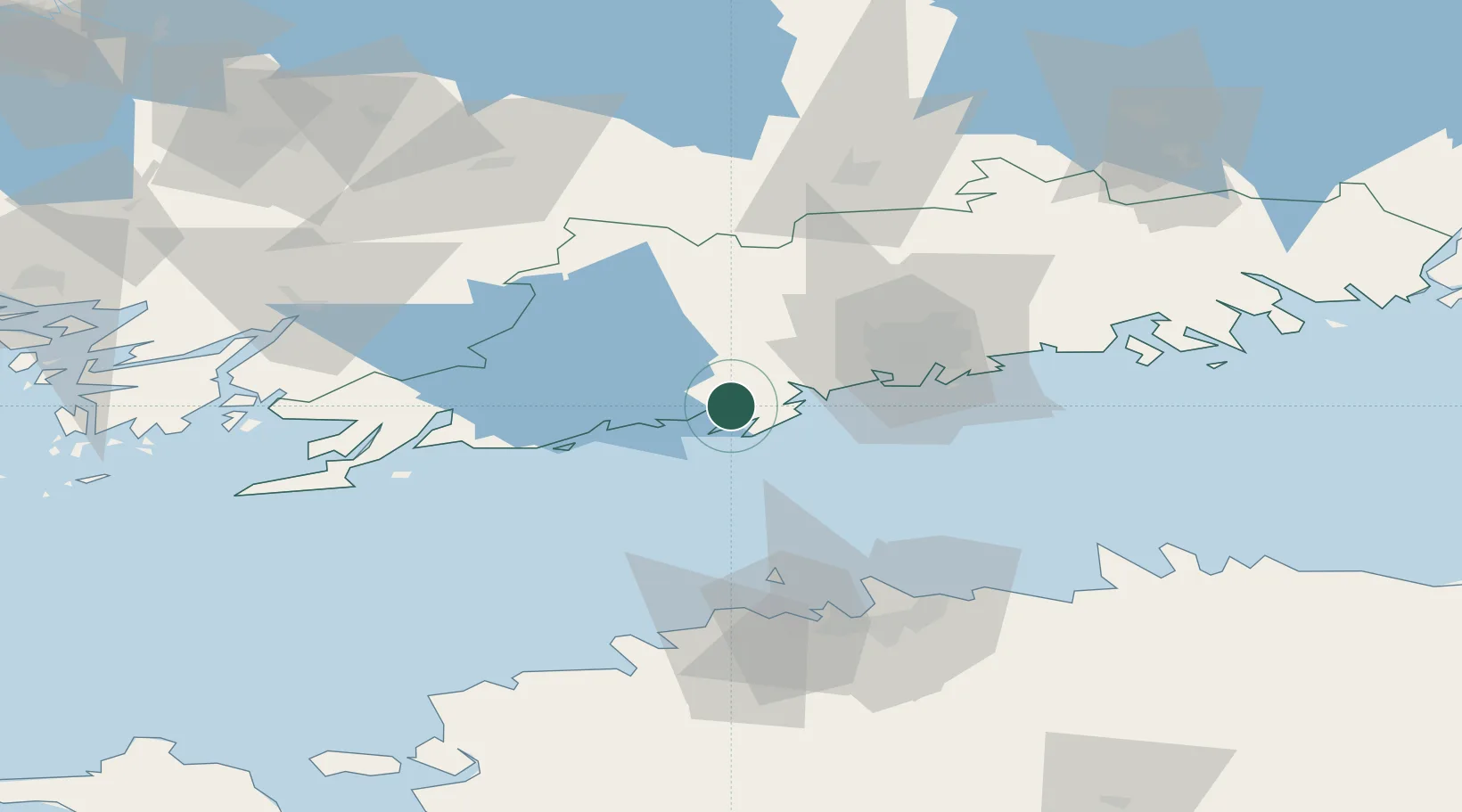
Location
Nearby Logistics Neighbours
Cities
- 1Jorvas9 km
- 2Masaby (Masala)11 km
- 3Degerby11 km
- 4Siuntio15 km
- 5Esbo (Espoo)20 km
Airports
- 1Helsinki Vantaa Airport41 km
- 2Tallinn Linnahall Heliport74 km
- 3Lennart Meri Tallinn Airport79 km
- 4Ämari Air Base92 km
- 5Turku Airport126 km
Trade Zones
- 1Paldiski Free Zone85 km
- 2Freeport of Hanko88 km
- 3Muuga Free Zone94 km
- 4Turku Free Zone126 km
- 5Port of Hamina-Kotka147 km
DatabookThe Record of Consolidated Knowledge
Finland beyond logistics?