Transport Functions
Rail
Road
Multimodal
Hub Profile
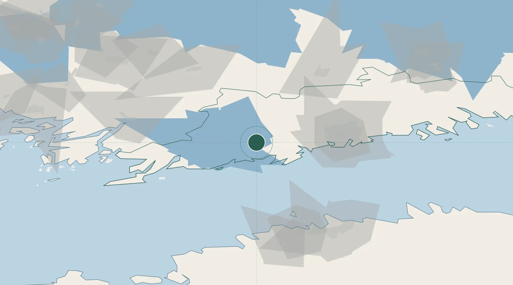
Place type
District seat
Region
Uusimaa
Population
6,251
Time zone
Europe/Helsinki
Elevation
40 m
Location
Nearby Logistics Neighbours
Airports
- 1Helsinki Vantaa Airport45 km
- 2Tallinn Linnahall Heliport87 km
- 3Lennart Meri Tallinn Airport93 km
- 4Ämari Air Base103 km
- 5Turku Airport113 km
Trade Zones
- 1Freeport of Hanko83 km
- 2Paldiski Free Zone95 km
- 3Muuga Free Zone109 km
- 4Turku Free Zone113 km
- 5Port of Hamina-Kotka154 km
DatabookThe Record of Consolidated Knowledge
Finland beyond logistics?