Transport Functions
Port
Road
Hub Profile
Place type
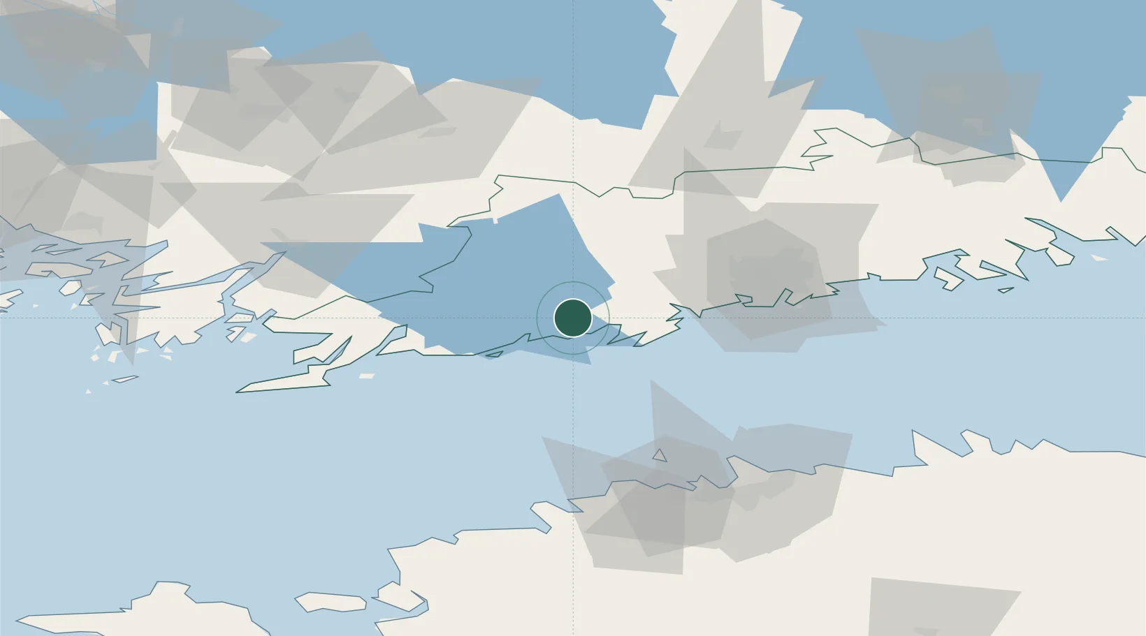
Populated place
Region
Uusimaa
Time zone
Europe/Helsinki
Elevation
16 m
Location
Nearby Logistics Neighbours
Cities
- 1Siuntio9 km
- 2Kantvik11 km
- 3Kirkniemi15 km
- 4Jorvas19 km
- 5Masaby (Masala)20 km
Airports
- 1Helsinki Vantaa Airport50 km
- 2Tallinn Linnahall Heliport79 km
- 3Lennart Meri Tallinn Airport85 km
- 4Ämari Air Base94 km
- 5Turku Airport115 km
Trade Zones
- 1Freeport of Hanko78 km
- 2Paldiski Free Zone85 km
- 3Muuga Free Zone101 km
- 4Turku Free Zone115 km
- 5Port of Hamina-Kotka157 km
DatabookThe Record of Consolidated Knowledge
Finland beyond logistics?