UN/LOCODE hub · Finland
FISLY

Siltakylä (Broby)

60.5000°, 26.7500°
2
Transport functions

Transport Functions

Port
Road
UN/LOCODE

Hub Profile

Region
09
GeoNames

Location

Location of FISLY
Natural Earth 10m (public domain) · 09 · FISLY · 60.50, 26.75GoogleOSMYandex

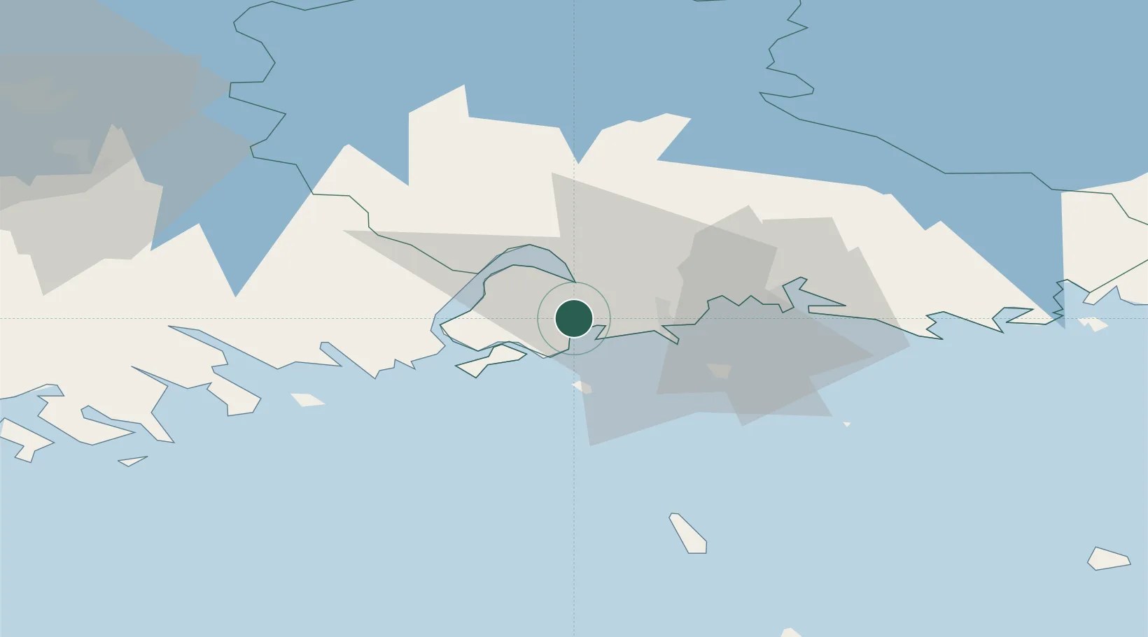
Nearby Logistics Neighbours

Cities
  1. 1Sunila11 km
  2. 2Kotka11 km
  3. 3Kymenlaakso14 km
  4. 4Ruotsinpyhtää (Strömfors)17 km
  5. 5Summa20 km
Nearest neighbours — logibook spatial index (haversine) over the source coordinates
Ports
  1. 1Kotka12 km
  2. 2Hamina26 km
  3. 3Loviisa29 km
  4. 4Porvoo65 km
  5. 5Tolkkinen83 km
Nearest neighbours — logibook spatial index (haversine) over the source coordinates
Airports
  1. 1Helsinki East-Redstone Aerodrome9 km
  2. 2Utti Air Base45 km
  3. 3Lappeenranta Airport97 km
  4. 4Helsinki Vantaa Airport100 km
  5. 5Pribylovo Naval Air Base110 km
Nearest neighbours — logibook spatial index (haversine) over the source coordinates
Trade Zones
  1. 1Port of Hamina-Kotka11 km
  2. 2Free Zone of Lappeenranta95 km
  3. 3Port of Sillamäe132 km
  4. 4Muuga Free Zone165 km
  5. 5St Petersburg Technology Innovative Special Economic Zone194 km
Nearest neighbours — logibook spatial index (haversine) over the source coordinates
DatabookThe Record of Consolidated Knowledge
Finland beyond logistics?
Browse databook

All Sources

LocationsUN/LOCODE
UN/LOCODE — free
Portsthe NGA World Port Index
Public domain (US gov)
AirportsOurAirports
Public domain
Trade Zonesthe World Bank SEZ database
CC BY 4.0
Trade ZonesOpen Zone Map
CC BY
← Finland locations