UN/LOCODE hub · Finland
FIHJI

Hausjärvi

60.7833°, 24.9333°
2
Transport functions

Transport Functions

Rail
Road
UN/LOCODE

Hub Profile

Region
06
GeoNames

Location

Location of FIHJI
Natural Earth 10m (public domain) · 06 · FIHJI · 60.78, 24.93GoogleOSMYandex

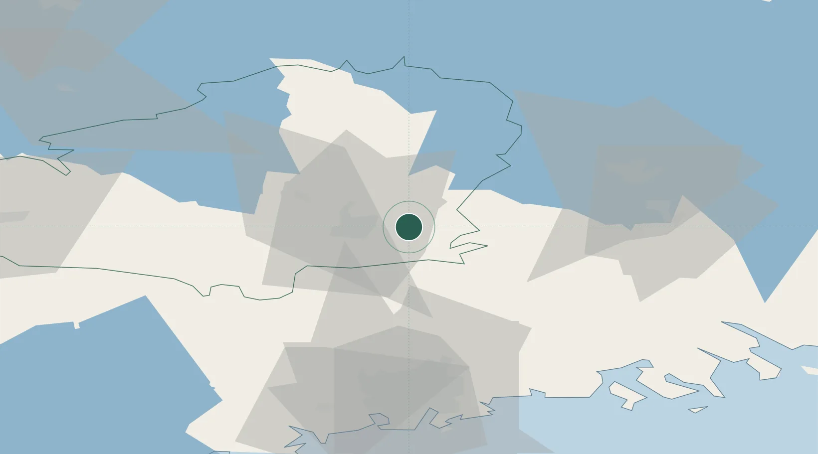
Nearby Logistics Neighbours

Cities
  1. 1Sulkava15 km
  2. 2Turenki22 km
  3. 3Janakkala22 km
  4. 4Rajamäki27 km
  5. 5Perttula39 km
Nearest neighbours — logibook spatial index (haversine) over the source coordinates
Ports
  1. 1Porvoo66 km
  2. 2Helsinki69 km
  3. 3Loviisa80 km
  4. 4Porkkala84 km
  5. 5Tolkkinen91 km
Nearest neighbours — logibook spatial index (haversine) over the source coordinates
Airports
  1. 1Helsinki Vantaa Airport52 km
  2. 2Helsinki East-Redstone Aerodrome97 km
  3. 3Tampere-Pirkkala Airport100 km
  4. 4Utti Air Base109 km
  5. 5Halli Airport120 km
Nearest neighbours — logibook spatial index (haversine) over the source coordinates
Trade Zones
  1. 1Port of Hamina-Kotka115 km
  2. 2Turku Free Zone153 km
  3. 3Freeport of Hanko155 km
  4. 4Muuga Free Zone166 km
  5. 5Paldiski Free Zone168 km
Nearest neighbours — logibook spatial index (haversine) over the source coordinates
DatabookThe Record of Consolidated Knowledge
Finland beyond logistics?
Browse databook

All Sources

LocationsUN/LOCODE
UN/LOCODE — free
Portsthe NGA World Port Index
Public domain (US gov)
AirportsOurAirports
Public domain
Trade Zonesthe World Bank SEZ database
CC BY 4.0
Trade ZonesOpen Zone Map
CC BY
← Finland locations