Transport Functions
Multimodal
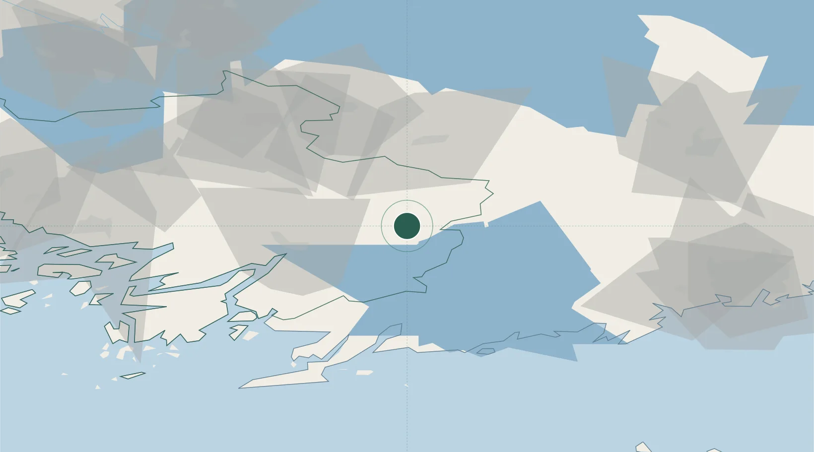
Hub Profile
Place type
District seat
Region
Southwest Finland
Population
1,771
Time zone
Europe/Helsinki
Elevation
115 m
Location
Nearby Logistics Neighbours
Cities
- 1Terttila9 km
- 2Pertteli17 km
- 3Vartsala35 km
- 4Fiskars37 km
- 5Perniö (Bjärnå)38 km
Airports
- 1Turku Airport72 km
- 2Helsinki Vantaa Airport79 km
- 3Tampere-Pirkkala Airport105 km
- 4Tallinn Linnahall Heliport131 km
- 5Lennart Meri Tallinn Airport137 km
Trade Zones
- 1Turku Free Zone74 km
- 2Freeport of Hanko80 km
- 3Paldiski Free Zone129 km
- 4Muuga Free Zone153 km
- 5Port of Hamina-Kotka185 km
DatabookThe Record of Consolidated Knowledge
Finland beyond logistics?