Transport Functions
Multimodal
Hub Profile
Region
19
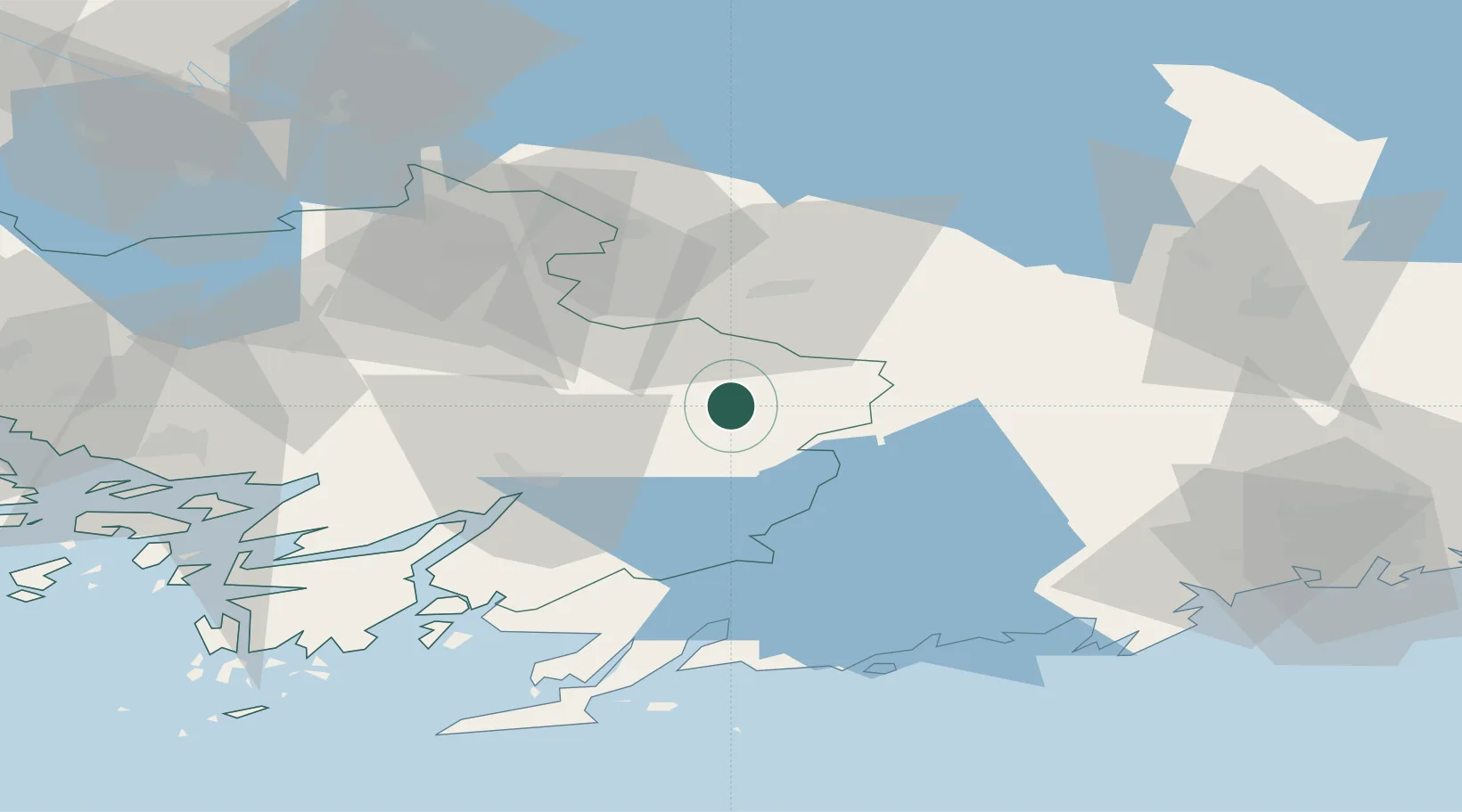
Location
Nearby Logistics Neighbours
Airports
- 1Turku Airport71 km
- 2Helsinki Vantaa Airport82 km
- 3Tampere-Pirkkala Airport96 km
- 4Pori Airport139 km
- 5Tallinn Linnahall Heliport140 km
Trade Zones
- 1Turku Free Zone74 km
- 2Freeport of Hanko88 km
- 3Paldiski Free Zone138 km
- 4Muuga Free Zone162 km
- 5Port of Hamina-Kotka186 km
DatabookThe Record of Consolidated Knowledge
Finland beyond logistics?