Transport Functions
Rail
Road
Hub Profile
Place type
Populated place
Region
Kymenlaakso
Time zone
Europe/Helsinki
Elevation
73 m
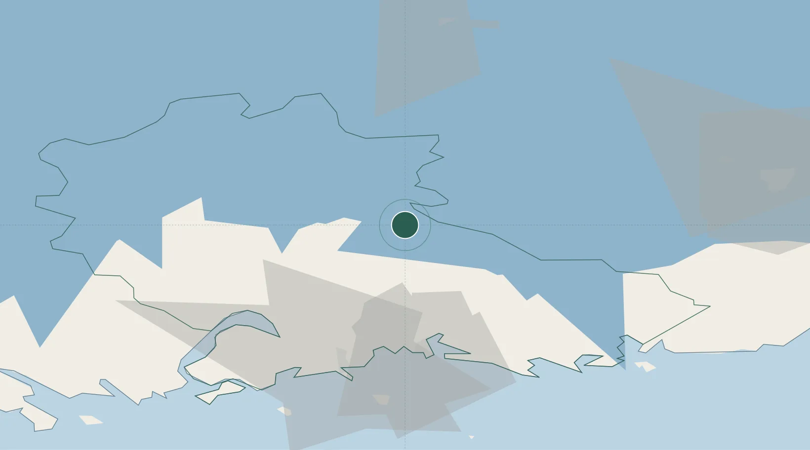
Location
Nearby Logistics Neighbours
Cities
- 1Myllykoski22 km
- 2Taavetti24 km
- 3Luumäki30 km
- 4Kouvola31 km
- 5Fredrikshamn (Hamina)37 km
Ports
- 1Hamina37 km
- 2Kotka49 km
- 3Loviisa69 km
- 4Gavan Vysotsk85 km
- 5Vyborg91 km
Airports
- 1Utti Air Base10 km
- 2Helsinki East-Redstone Aerodrome55 km
- 3Lappeenranta Airport58 km
- 4Mikkeli Airport88 km
- 5Pribylovo Naval Air Base101 km
Trade Zones
DatabookThe Record of Consolidated Knowledge
Finland beyond logistics?