Transport Functions
Rail
Road
Hub Profile
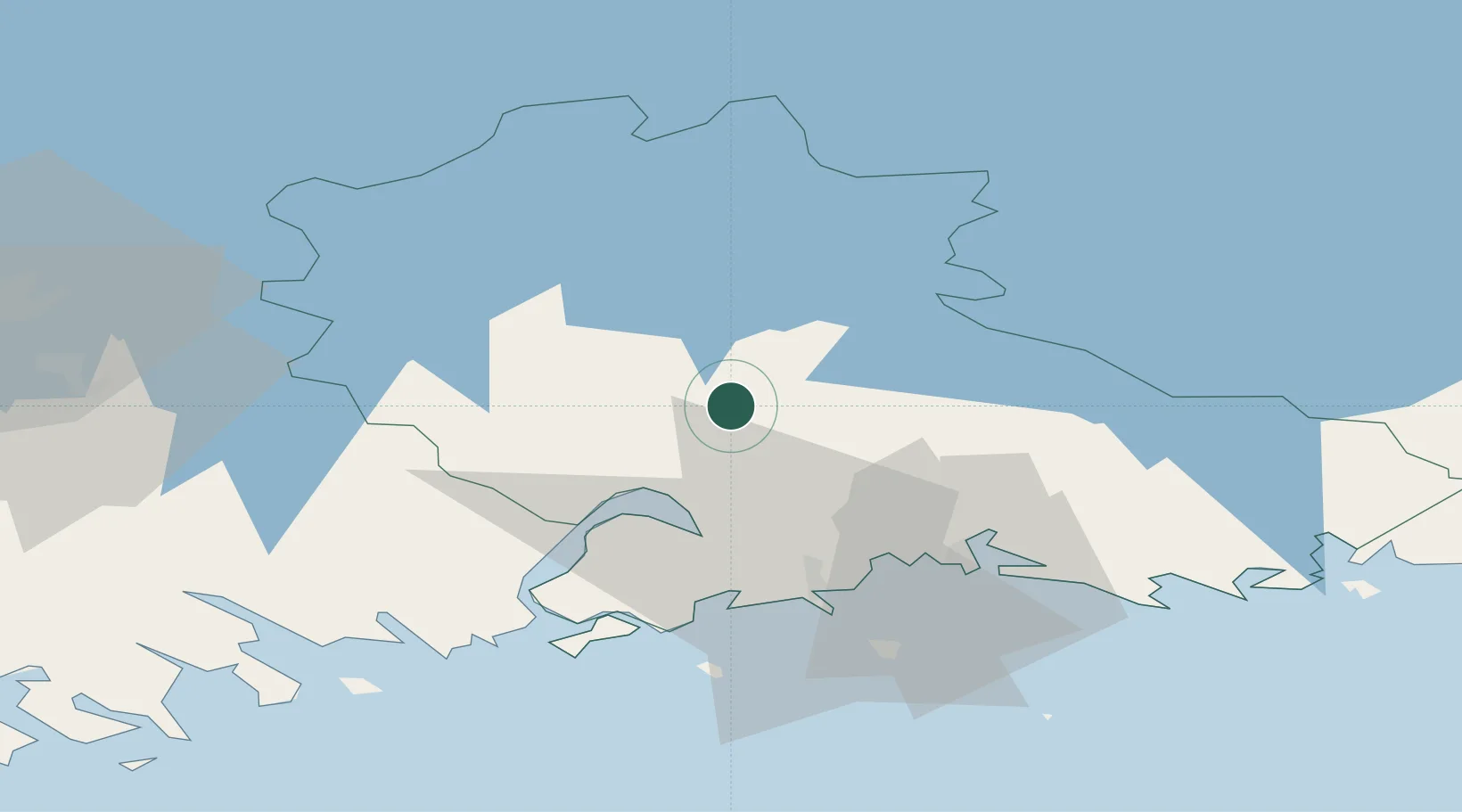
Place type
Populated place
Region
Kymenlaakso
Time zone
Europe/Helsinki
Elevation
42 m
Location
Nearby Logistics Neighbours
Cities
- 1Kouvola16 km
- 2Kaipiainen22 km
- 3Siltakylä (Broby)32 km
- 4Fredrikshamn (Hamina)33 km
- 5Summa33 km
Ports
- 1Hamina33 km
- 2Kotka36 km
- 3Loviisa48 km
- 4Porvoo83 km
- 5Gavan Vysotsk98 km
Airports
- 1Utti Air Base15 km
- 2Helsinki East-Redstone Aerodrome36 km
- 3Lappeenranta Airport78 km
- 4Mikkeli Airport103 km
- 5Pribylovo Naval Air Base112 km
Trade Zones
DatabookThe Record of Consolidated Knowledge
Finland beyond logistics?