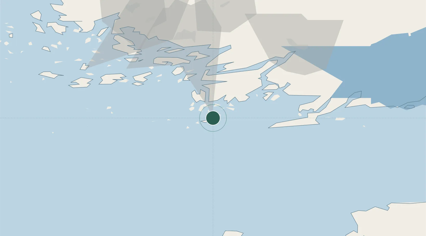
UN/LOCODE hub · Finland
FIHIT

Hiitinen

59.8833°, 22.5000°
1
Transport functions

Transport Functions

Port
UN/LOCODE

Location

Location of FIHIT
Natural Earth 10m (public domain) · Finland Proper · FIHIT · 59.88, 22.50GoogleOSMYandex

Nearby Logistics Neighbours

Cities
  1. 1Kasnäs7 km
  2. 2Högsåra11 km
  3. 3Dalsbruk (Taalintehdas)15 km
  4. 4Västanfjärd20 km
  5. 5Dragsfjärd21 km
Nearest neighbours — logibook spatial index (haversine) over the source coordinates
Ports
  1. 1Hanko26 km
  2. 2Pargas51 km
  3. 3Ekenas53 km
  4. 4Jussaro60 km
  5. 5Uto64 km
Nearest neighbours — logibook spatial index (haversine) over the source coordinates
Airports
  1. 1Turku Airport71 km
  2. 2Kärdla Airport101 km
  3. 3Ämari Air Base118 km
  4. 4Tallinn Linnahall Heliport136 km
  5. 5Lennart Meri Tallinn Airport141 km
Nearest neighbours — logibook spatial index (haversine) over the source coordinates
Trade Zones
  1. 1Freeport of Hanko22 km
  2. 2Turku Free Zone64 km
  3. 3Paldiski Free Zone108 km
  4. 4Muuga Free Zone156 km
  5. 5Stockholm Free Zone254 km
Nearest neighbours — logibook spatial index (haversine) over the source coordinates
DatabookThe Record of Consolidated Knowledge
Finland beyond logistics?
Browse databook

All Sources

LocationsUN/LOCODE
UN/LOCODE — free
Portsthe NGA World Port Index
Public domain (US gov)
AirportsOurAirports
Public domain
Trade Zonesthe World Bank SEZ database
CC BY 4.0
Trade ZonesOpen Zone Map
CC BY
← Finland locations